Dear laser scanning community,
Once again, we have expanded our portfolio in order to assist our customers at the best in their jobs. Thus, we provide the survey by drones (UAV or UAS) from now on.
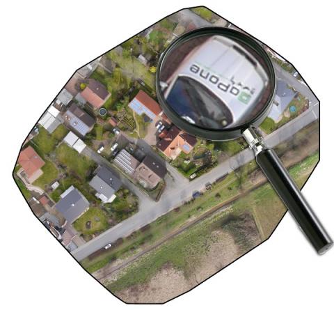
By means of this technology, we can fly over landscapes, building areas, highways, open-pit mines or even rivers and digitalize them for you. We gladly advise you regarding the fields of application of drones for topographical surveying and explain the differences between the use of a laser scanner or a digital camera in combination with a drone. Our trainers explain directly at the project what you need to know in order to survey an area by a drone and to finally gain the desired data. We povide you with a comprehensive consulting from beginning to end so that no piece of information is missing.
You find further information regarding the data collection with UAV/UAS at https://www.laserscanning-europe.com/en/uas-uav/surveying-via-drones-uas-uav.
Do you have questions regarding the survey by drones or the results (for instance ortho photos or digital terrain models)? Call us at +49 (0) 391 62 69 96 0 or send a mail to uas@laserscanning-europe.com. We are looking forward to your request.
Your Laserscanning Europe team