Dot3D 6.3 is here – an overview of the next major update

TitleDot3D 6.3 is here!
With version 6.3, Dot3D takes its scanning and surveying capabilities to a whole new level. The update not only adds support for new hardware but also delivers significant improvements in accuracy, workflow, and project organization.
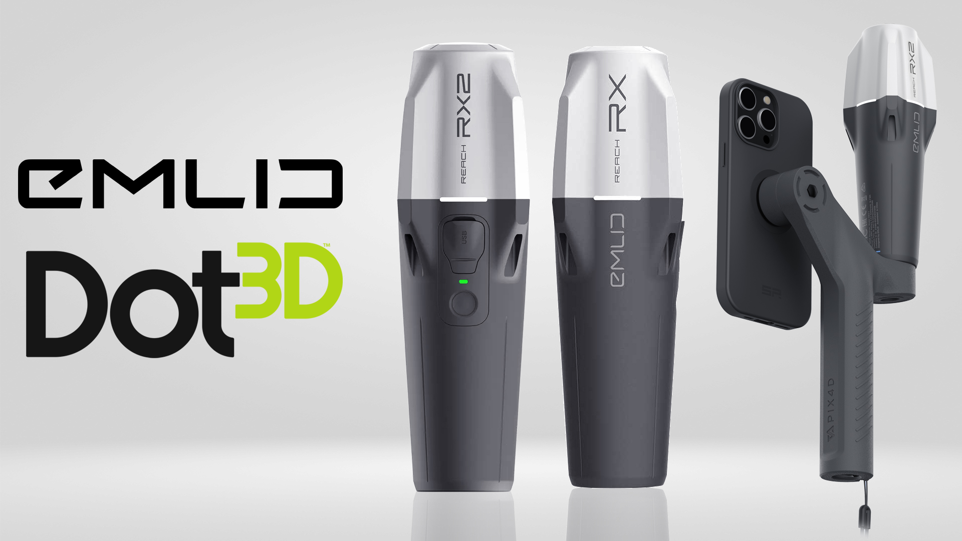
TitleEmlid Reach RX & RX2 are now directly integrated into Dot3D
With Dot3D 6.3, you can now seamlessly enhance your scans with high-precision GNSS/RTK data from the compact Emlid Reach RX and RX2 rovers.
Integration takes place directly within the scanning workflow: During data capture, Dot3D connects to compatible GNSS receivers and imports position data in real time. This offers several advantages:
- Automatic georeferencing: Point clouds are directly assigned to a global coordinate system
- Higher accuracy: The quality of the point clouds is specifically improved through additional position data
This makes the entire process not only more efficient but also significantly more robust – especially for demanding outdoor projects.
TitleIntelligent use of GNSS data for maximum accuracy
A key feature of Dot3D is the intelligent weighting of GNSS/RTK data during the optimization process.
This is because the quality of GNSS signals can vary significantly along a scan trajectory – for example, due to obstructions or environmental conditions. Dot3D automatically accounts for these fluctuations and uses position data only where it actually contributes to improving accuracy.
This means:
- Reliable global positioning for all scans
- Additional local accuracy gains where appropriate
- No degradation caused by inaccurate GNSS points
Large-scale outdoor scans benefit particularly from this, for example:
- Accident sites on highways
- Long routes or trenches
- Industrial and outdoor facilities
This is where the combination of mobile data collection and intelligent optimization truly shines.
TitleAdditional improvements in Dot3D 6.3
In addition to GNSS integration, the update includes numerous additional optimizations for everyday use:
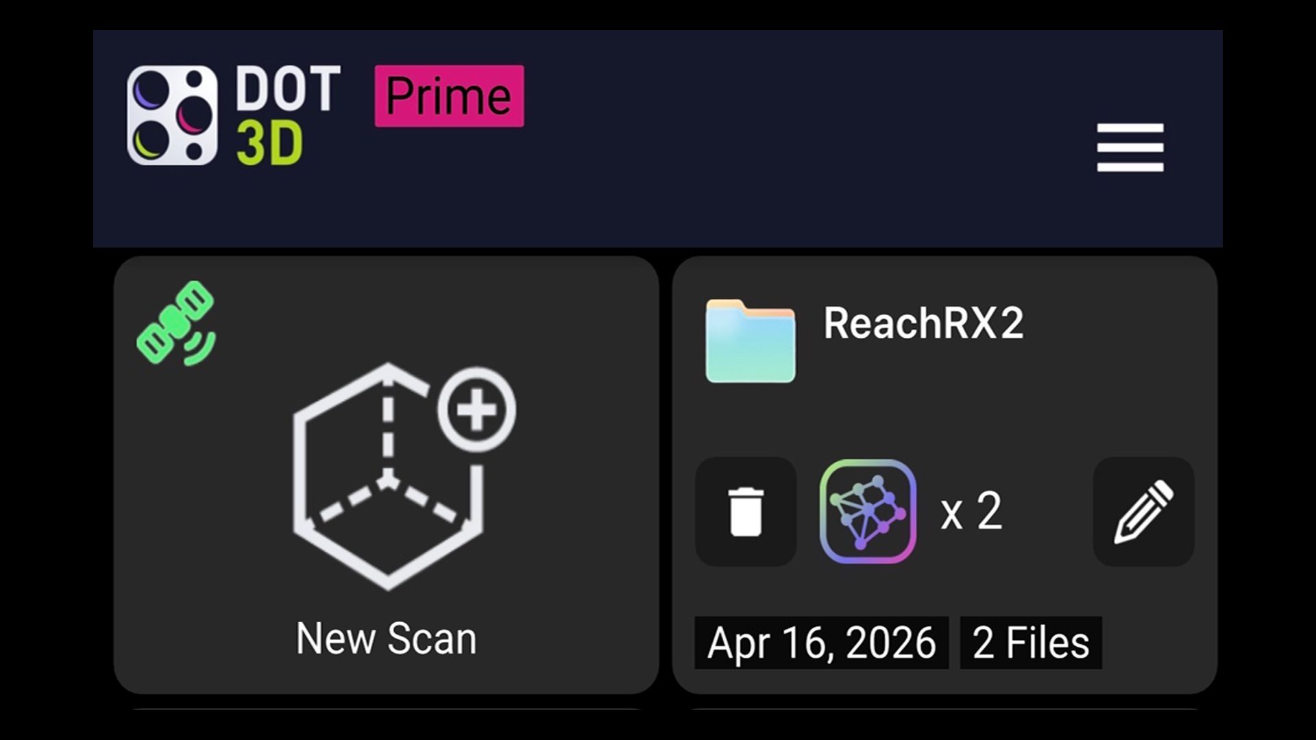
- New folder structure: Projects can now be clearly organized directly within Dot3D
- Improved accuracy: Automatic optimization through wall-to-wall constraints
- Optimized RTK integration: Even better results when using real-time GNSS
- Trajectory export: Ideal for surveying, mapping, and custom workflows
- Manual relocalization: Greater control in challenging scanning situations
- Expanded hardware support: Now also compatible with the General Laser GLRM RTK receiver
- Performance & UI: Noticeable speed improvements and an optimized user interface
Better advice as a user
If you are interested in our offer or would like to learn more about Dot3D software, then call us today and arrange a free and non-binding consultation appointment for you. We will answer all your questions. As a dealer and at the same time a user, we are well positioned to assist you even after the purchase.