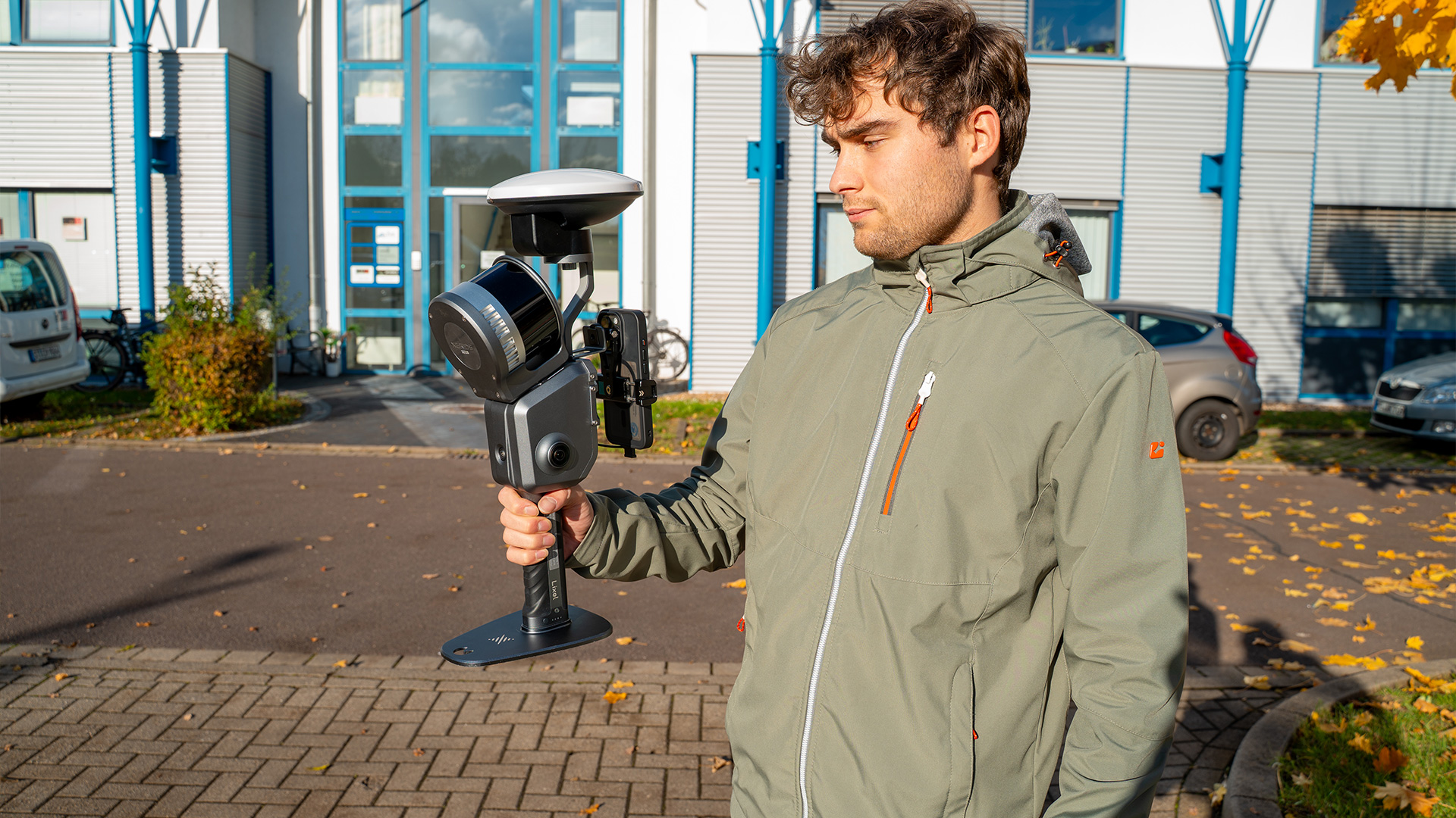
XGRIDS Lixel L2 Pro Survey Grade RTK Kit

TitleProfessional-level precision
The Survey Grade RTK Kit from XGRIDS was developed specifically for the Lixel L2 Pro 3D scanner and ensures that you receive a reliable satellite signal even under difficult conditions. With this kit, centimeter-accurate RTK data is guaranteed, optimizing the scanner for demanding surveys, construction projects, and precise 3D modeling. The kit supports all major global satellite systems, including GPS, GLONASS, Galileo, and BeiDou, ensuring that you receive accurate positioning data at all times.
TitleProduct features of the Survey Grade RTK Kit
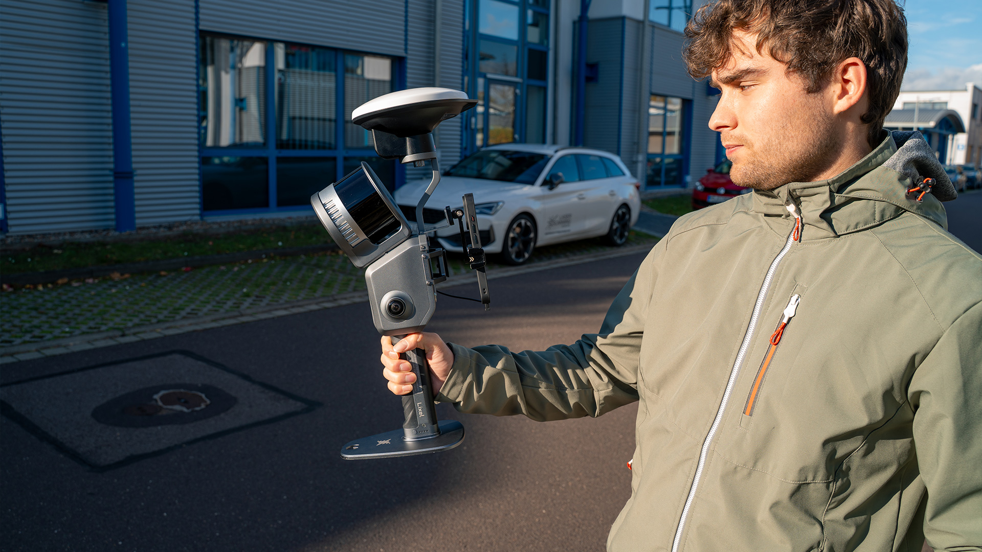
The Survey Kit offers state-of-the-art antenna technology with high signal stability. It supports GPS L1/L2/L5, GLONASS L1/L2, BeiDou B1/B2/B3, and Galileo E1/E5a/E5b/E6b. Accuracy is an impressive 0.8 cm horizontally plus 1 ppm and 1.5 cm vertically plus 1 ppm. The antenna is designed for right-hand circular polarization (RHCP), has a horizontal coverage angle of 360°, and offers a significantly stronger signal than conventional RTK solutions with a maximum gain of 5.5 dBi.
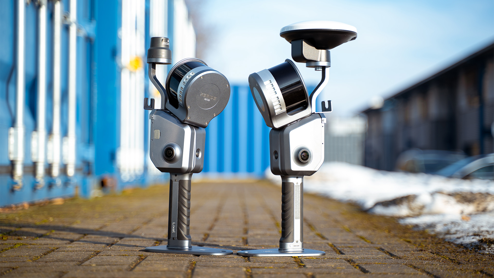
TitleSurvey RTK vs. Standard RTK
Compared to the Standard RTK, the Surveyor Grade Kit offers significantly improved features for professional applications. Particularly noteworthy is the antenna axis ratio of ≤ 3 dB, which ensures higher signal quality, and the maximum gain of 5.5 dBi, compared to 2.8 dBi for the Standard RTK. While standard RTK is more suitable for general RTK applications, Survey Grade RTK is specifically designed for precise surveying and demanding 3D scanning projects.
TitleUse cases for the Surveyor Grade RTK Kit
Thanks to its high accuracy and signal stability, the Survey Grade RTK Kit is ideal for use in construction surveying, infrastructure projects, tunnel and bridge construction, and precise 3D modeling in industry. Even in areas that are difficult to access or have poor satellite coverage, the kit delivers reliable RTK data, enabling engineers, surveyors, and 3D modelers to consistently achieve accurate results.
Better advice as a user
Are you interested in our offer or would you like to find out more about the Survey Grade RTK Kit? Then give us a call today and arrange a free, non-binding consultation. We will answer all your questions. As both a dealer and a user, we are ideally positioned to support you after your purchase.