3D Laser Scanning & Modeling for Energy & Utility Companies
TitleEfficient as-built documentation with 3D laser scanners
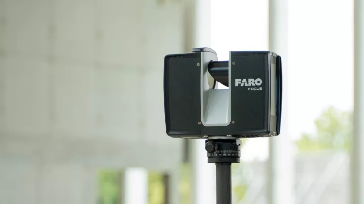
In the energy and public utilities sector, precise data is the key to efficient management and long-term planning. With 3D laser scanning, power grids, water and gas pipes as well as energy generation plants can be recorded quickly and without contact.
The digital models enable precise as-built documentation, optimized maintenance processes and improved planning reliability for extensive construction measures and modernizations – all with minimal disruption to operations.
TitleAreas of application in energy & utilities industry
Power plant modernization & maintenance
The precise capture of the actual condition of power plants enables well-founded planning of modernization measures, reduces downtimes and optimizes maintenance processes.
Grid infrastructure & substations
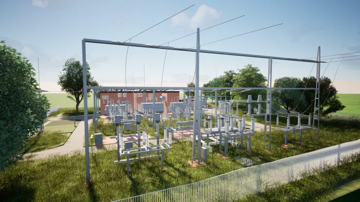
The detailed measurement of substations, transformer stations and supply networks facilitates the planning of expansions and ensures the smooth integration of new components.
Pipeline & line construction
By recording gas, water and electricity pipelines with millimeter precision, routes can be documented precisely and future construction projects can be planned efficiently.
Offshore wind farms & renewable energies
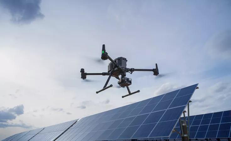
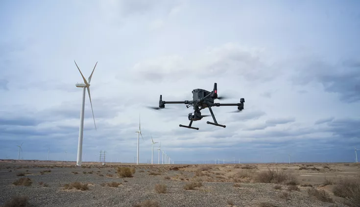
Laser scanning enables the inspection and monitoring of wind turbines, solar parks and other renewable energy projects in order to identify maintenance requirements at an early stage and optimize operating processes.
Plant safety & risk management
Complete documentation of industrial plants supports operators in complying with safety regulations, risk assessments and disaster prevention measures.
Dismantling & decommissioning of plants
When decommissioning power plants or industrial facilities, 3D laser scanning helps to create precise documentation of existing structures in order to make the dismantling process safe, efficient and environmentally friendly.
TitleCost-saving as-built documentation of power plants with laser scanning
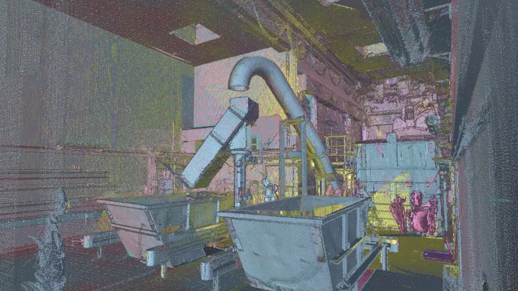
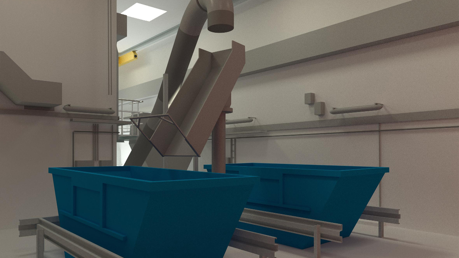
The exact capture of the actual condition of power plants or substations enables efficient conversions, extensions and machine relocations. Detailed documentation is particularly essential when relocating plants in order to be able to seamlessly reconstruct the existing structure.
With 3D laser scanning, complex pipelines, cable routes and load-bearing structures can be captured with millimetre precision, allowing collisions and unexpected obstacles to be detected at an early stage in the planning phase. This not only reduces planning errors, but also prevents costly reworking and delays during implementation.
The digital as-built survey also facilitates coordination between different trades, as all relevant data is available centrally and in high precision.
TitleCollision checks before the construction work
By using laser scanning during the as-built survey, detailed collision checks can be carried out on the computer before construction work begins. These early analyses help to identify and avoid potential collisions during assembly, which not only saves time but also costs.
The high precision of the laser scan data makes a significant contribution to increasing the degree of prefabrication of components and pipelines. As the digital models are based on exact 3D data, components can be manufactured precisely and efficiently in advance, which improves the quality and adaptability of the installations.
Laser scanning also minimizes the surveying effort considerably. The data collected is significantly more precise than with conventional surveying methods, resulting in fewer reworking jobs and smoother project progress.
TitleAirborne laser scanning: Fast & cost-saving detection from the air
Efficient inspection & monitoring with UAVs
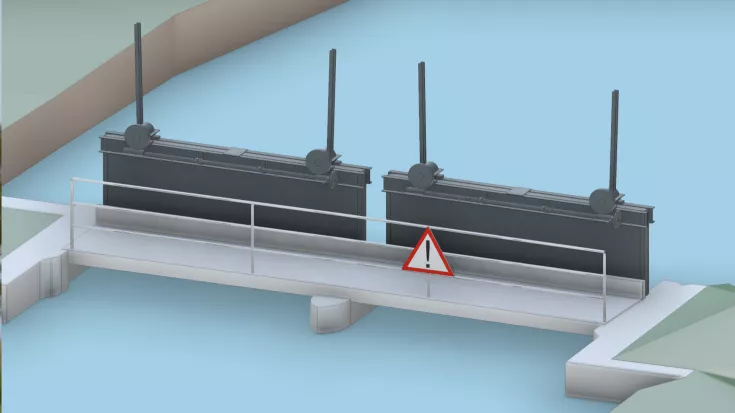
UAVs are playing an increasingly important role in the inspection and monitoring of energy and supply infrastructures. They offer decisive advantages, especially for difficult-to-access or extensive facilities such as high-voltage lines, wind farms, solar parks, pipelines or dams.
Equipped with high-resolution cameras and laser scanners, drones enable fast, contactless capture of the actual condition. Damage, material fatigue or vegetation overgrowth on power lines can be detected at an early stage, allowing maintenance measures to be planned in a targeted manner and costly outages to be avoided.
Digital as-built survey & increased safety
UAVs are also ideal for 3D modeling and surveying large facilities. The captured data can be combined with terrestrial laser scans to obtain a complete digital image of the infrastructure. This allows precise analyses and planning to be carried out – without time-consuming on-site measurements or complex scaffolding constructions.
In addition, the integration of thermal sensors allows heat leaks in district heating systems to be detected and documented, resulting in considerable cost savings.
The use of UAVs minimizes safety risks for inspection personnel, reduces the time required and cuts operating costs – a significant advance for energy and utility companies.
TitleReliable surveying of hard-to-reach areas
Laser scanning makes it possible to reliably and contactlessly record areas that are difficult to access or are secured for safety reasons. Precise documentation is essential, particularly in complex infrastructures such as water and wastewater networks, electricity and gas networks or industrial piping systems. In addition to the exact capture of the position and depth of supply lines, structural changes or signs of wear and tear can also be detected at an early stage.
The captured data is stored in a CAD or GIS system so that it can not only be used for future planning and maintenance work, but can also be combined with other digital as-built models. This facilitates long-term maintenance, enables efficient modernization measures and improves operational safety.
TitleAdvantages of laser scanning for the utilities sector
- Precise as-built survey: The precise capture of power plants, substations, pipeline systems and grid infrastructures reduces planning errors and facilitates maintenance work.
- Efficient planning & conversions: Digital 3D models enable early collision checks and better coordination for modernization measures or grid optimizations.
- Time & cost savings: The high degree of prefabrication of components and cables means that installation work can be carried out faster and with fewer errors.
- Increased safety: As areas that are difficult to access or safety-critical are captured without contact, the risk to personnel is significantly reduced.
- Seamless integration into CAD & GIS systems: The data obtained can be easily processed further and used for future planning or documentation.
