
Emlid & DotProduct 3D Scanning Kit

TitlePrecise 3D scanning meets mobile RTK technology
The combination of Dot3D software and Emlid GNSS receivers opens up new possibilities in mobile 3D data capture. By directly integrating RTK position data into the scanning process, point clouds can not only be captured quickly but also georeferenced immediately. The result is an efficient workflow that optimally combines accuracy and user-friendliness.
TitleEMLID: Mobile RTK technology for precise positioning
Emlid’s GNSS receivers, such as the Reach RX2, provide precise position data in real time and can be easily integrated into existing workflows. Thanks to modern RTK technology and intuitive operation, they are ideal for mobile use in the field.
When used in combination with a GNSS pole, traditional surveying tasks such as stake-outs and point surveys can also be carried out with ease.
Their compact design and rapid deployment make the systems particularly flexible and reliable across a wide range of application scenarios.
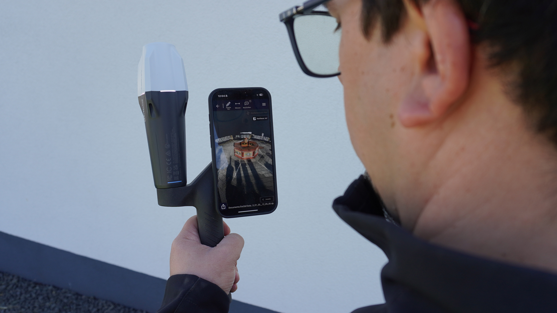
TitleDot3D: Professional 3D scanning with LiDAR
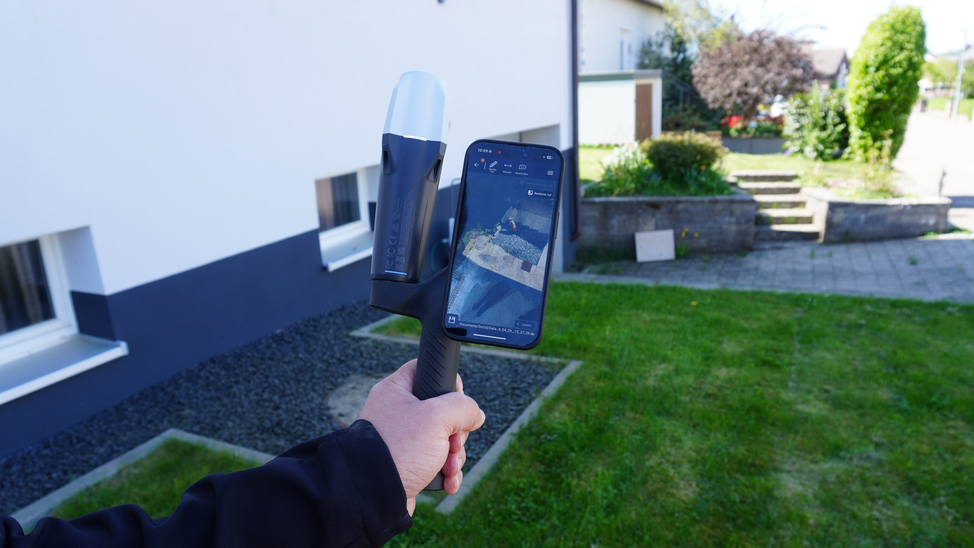
Dot3D is a professional 3D scanning app for the iPhone designed for the rapid capture and processing of LiDAR and image-based scan data. The software enables the capture and direct post-processing of point clouds on-site – entirely on the iPhone and without the use of cloud services. This ensures that the entire workflow remains intuitive, fast and independent.
By integrating external GNSS data, Dot3D also significantly expands its functionality and allows 3D geometry to be directly linked to precise positional information.
TitleBenefits of combining Dot3D & Emlid
The integration of Dot3D and Emlid creates a seamless workflow from data capture to a georeferenced point cloud. During scanning, GNSS data is integrated in real time and processed automatically.
Particularly notable is the intelligent weighting of position data: Dot3D takes the quality of the GNSS signals into account and uses them specifically to optimise the point cloud. This achieves a high overall accuracy without erroneous data negatively affecting the result.
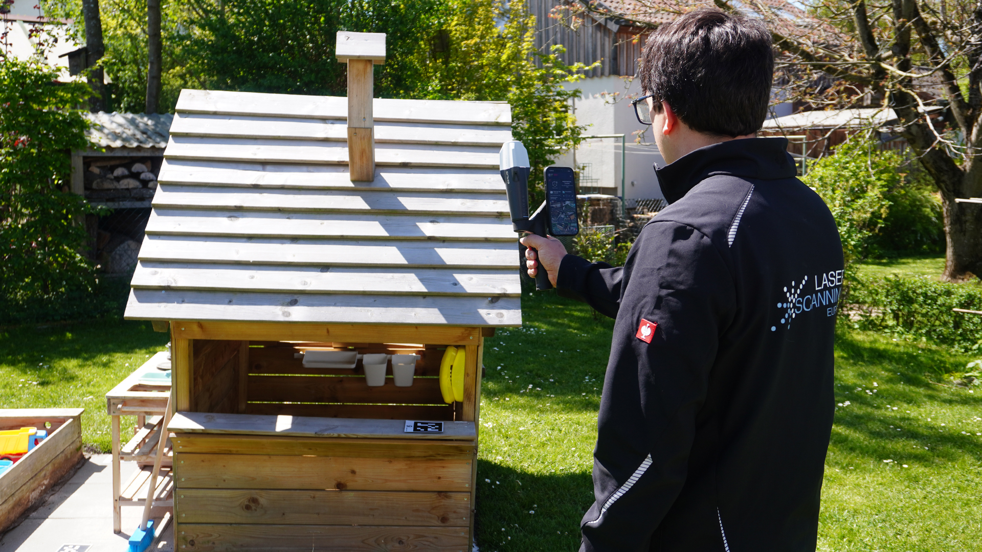
TitleEfficient, flexible & ready to use straight away
This combination is suitable for both beginners and advanced users who value a fast and reliable workflow. Precise 3D data can be captured and processed directly without the need for complex surveying equipment. The solution is portable, intuitive to use and significantly reduces the effort required for data capture and post-processing.

TitleVersatile – from data capture to analysis
The combination of Dot3D and Emlid’s GNSS technology opens up a wide range of applications across a variety of industries. By combining mobile LiDAR scanning with precise RTK positioning, it is possible to carry out smaller projects efficiently and reliably capture moderately larger environments.
This solution really comes into its own where speed, flexibility and georeferenced data are required. Users benefit from a seamless workflow – from data capture to post-processing – and can complete projects significantly faster and with greater precision.
TitleFields of application
- Construction and as-built documentation
- Surveying and mapping
- Infrastructure and outdoor facilities
- Forensics and accident investigation
- Facility management
- Landscape and environmental planning
TitleFrom scan to georeferenced point cloud – simple & efficient
The combination of Emlid’s Dot3D and GNSS receivers enables a seamless workflow from data capture to the finished, georeferenced point cloud. LiDAR scanning and RTK positioning integrate seamlessly, ensuring precise results – directly in the field and without complicated intermediate steps.
TitleSystem setup and start-up
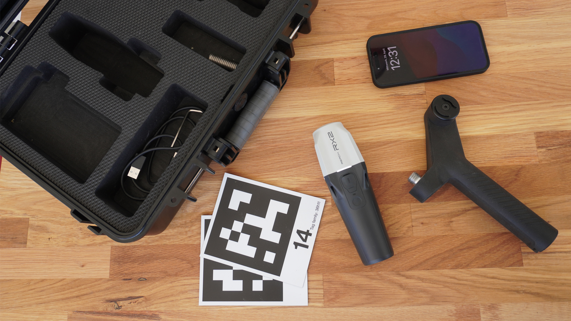
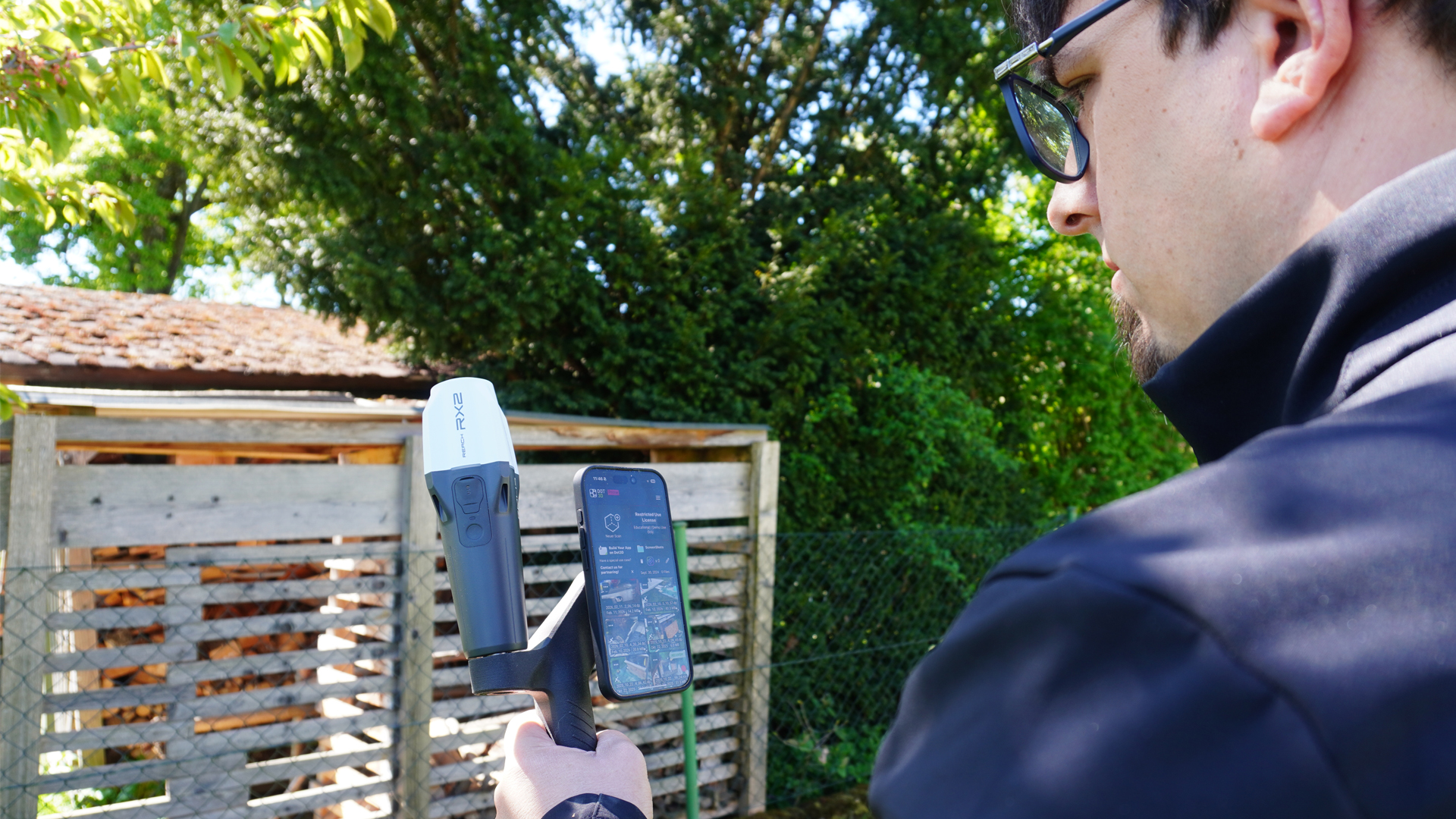
First, the Emlid Reach RX2 GNSS receiver (the Reach RX can also be used) is attached to a handle together with a LiDAR-enabled iPhone. Once the receiver has been switched on and the Dot3D app launched, the connection between the two devices is established. This step is quick and straightforward, meaning the system is ready for use in no time. The EMLID Reach RX 2 receiver uses Bluetooth Low Energy (BLE) to connect to the iPhone. In addition, the required correction data can be stored directly within the Dot3D software, enabling precise positioning.
TitleReal-time data capture
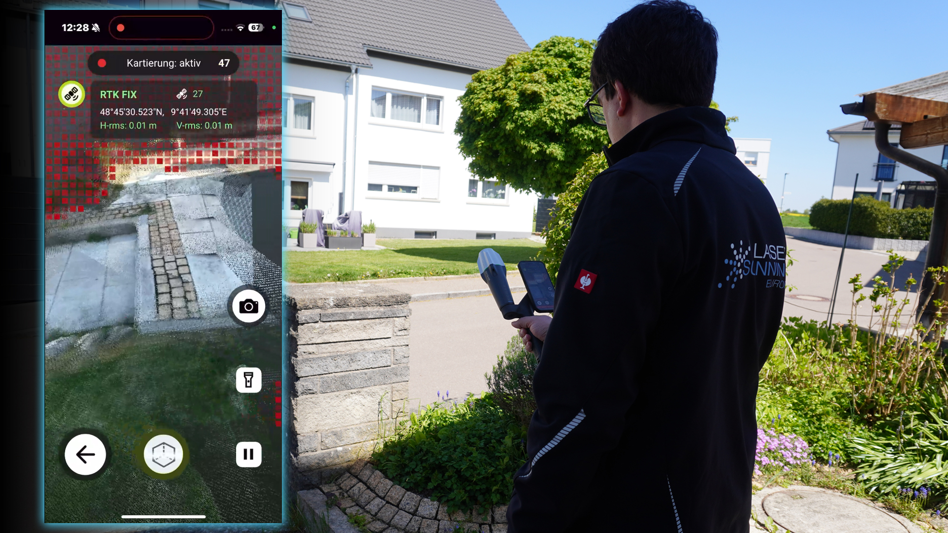
As soon as the connection is established, data capture begins: the integrated LiDAR sensor captures the environment as a point cloud. At the same time, the GNSS receiver continuously provides RTK position data. This data is integrated directly into Dot3D during the scan, meaning the data is georeferenced in real time.
TitleSmart data optimization
Once the data has been captured, the point cloud is automatically optimised. Dot3D combines the captured LiDAR data with GNSS information to ensure the highest possible accuracy. A particular advantage is the adaptive processing: the software continuously assesses the quality of the GNSS data and only takes it into account where it contributes to improving the results.
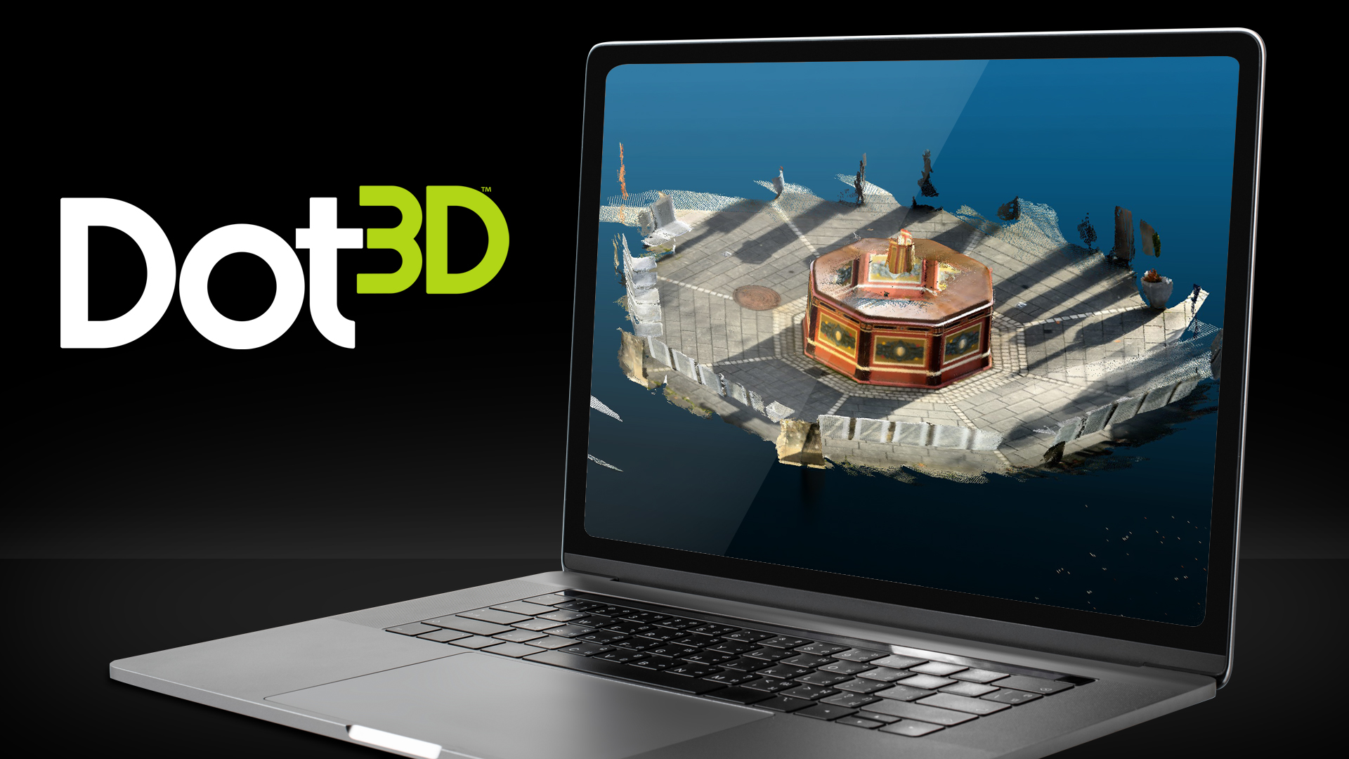
Optionally, optimisation can also be carried out in the office – for example, using a desktop version for Windows. This is particularly useful for larger projects or extensive datasets.
Desktop version:
TitleMore accurate measurements with AprilTags

In addition, so-called AprilTags can be used to further improve accuracy – particularly in areas with a weak or absent GNSS signal.
These visual reference markers support the stable alignment of the point cloud and improve the overall quality of the survey.
It is also advisable to start the measurement at an AprilTag and end it at the same one, as this further increases the accuracy of closed measurement loops.
TitleExport & further processing
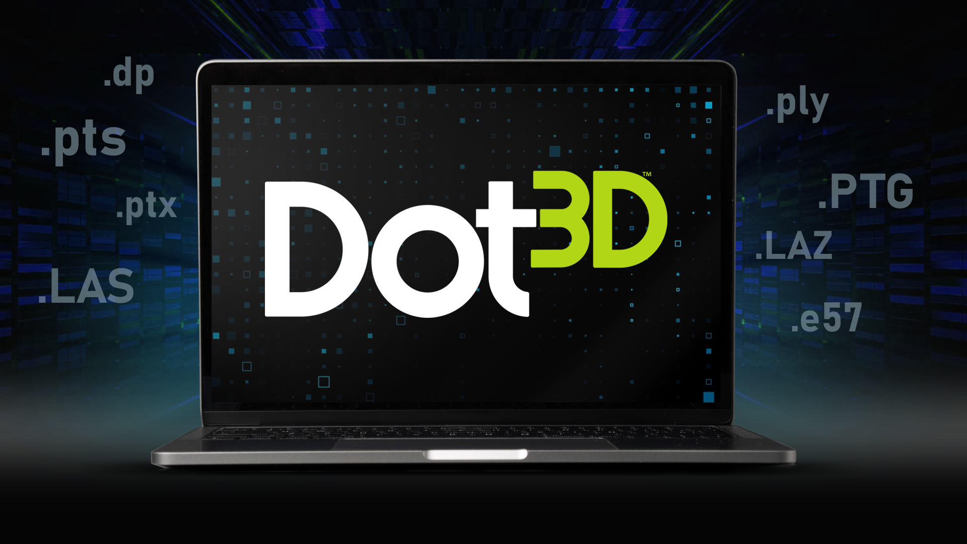
In the final step, the captured and optimized data is exported. The point clouds are then available for a wide variety of applications, such as in CAD or GIS systems, as well as in custom analysis and planning processes.
| Common output formats |
|---|
| .pts; .ptx; .ply; .PTG; .LAS 1.2; .LAZ 1.2; .e57; .dp |
The entire workflow is designed to be fast, intuitive, and efficient. Users benefit from a mobile solution that delivers accurate results while significantly reducing the effort required for data capture and post-processing.
TitleImport of Dot3D data
Data captured with Dot3D can be flexibly imported into and processed by a wide range of third-party software solutions. Many applications directly support the native .dp format, while other common exchange formats can also be used depending on the software category. This enables seamless integration into existing workflows and opens up a wide range of possibilities for subsequent analysis.
| Software | Supported file formats |
|---|---|
| Dot3D Edit | Direct DP import |
| ClouCompare | Direct DP import |
| Rhino 3D | Direct DP import |
| Trimble RealWorks | Direct DP import |
| 3DF Zephyr | Direct DP import |
| Carlson Point Cloud | Direct DP import |
| Armonicos ClassNK-PEERLESS | Direct DP import |
| Z+F LaserControl | Direct DP import |
| Autodesk ReCap | DP import (via compatibility mode) |
| AVEVA Point Cloud Manager | DP import (via compatibility mode) |
| PointCab Origins | DP import (via compatibility mode) |
| iQ3 Connect | DP import (via compatibility mode) |
| Riegel RiScan Pro | DP import (via compatibility mode) |
| SSI Ship Constructor | RSC import, via DP import in ReCap |
| Gexcel Reconstructor | DP import (via compatibility mode) |
| Software | Supported data formats |
|---|---|
| Bloom CloudEngine | DP import (via compatibility mode) |
| My3D.Cloud | DP import (via compatibility mode) |
| Undet Point Cloud Plugins | DP import (via compatibility mode) |
| MeshLab | E57, PLY import |
| Leica Geosystems | E57; LAS; LAZ; PTS; PTX import |
| SketchUp | E57; LAS; LAZ import via Scan Essentials/Studio |
| FARO SCENE | E57 import |
| Autodesk Software | RSC import |
| progeCAD | RCS/LAZ import |
| progeEARTH | LAS; PLY import |
| RealityScan | E57 import |
| NUBIGON | E57 import |
| Cintoo Cloud | E57 import |
| Graphisoft ArchiCAD | E57 import |
| QGIS | LAZ import, geoTIFF import |
| ESRI ArcGIS | LAZ, LAS, geoTIFF import |
| AutoScene Draw | geoTIFF import |
| ScenePD | Ortho photo import |
| Easy Street Draw | Ortho photo import |

TitleTechnical basics & system requirements at a glance
Emlid’s combination of Dot3D and GNSS receivers is based on a deliberately streamlined, mobile system approach. Rather than relying on traditional, complex surveying technology, the focus here is on practical application – with clearly defined requirements and features that are essential for field use.
TitleLocal data storage – full control over your data
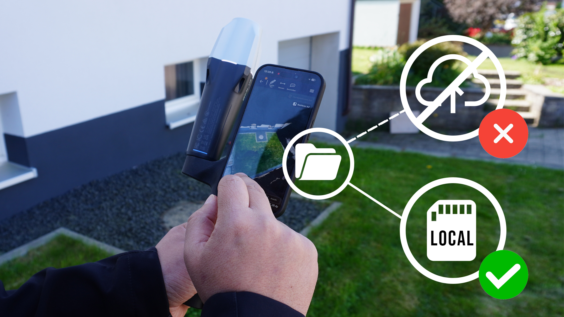
Unlike cloud-based solutions, all scanned data is stored directly on the iOS device being used. For users, this means:
- Full control over sensitive project and customer data
- Direct access to all data without additional upload or download processes
This local processing ensures maximum flexibility and is particularly advantageous in security-critical or infrastructure-constrained environments.
TitleLicensing model: Clear & predictable software costs
A software subscription is required to use Dot3D. Once the hardware has been purchased, the only ongoing costs are for the software license.
This model offers:
- Regular updates and new features
- Predictable operating costs with no hidden fees
- Access to the latest version of the software
TitleLiDAR range & coverage area
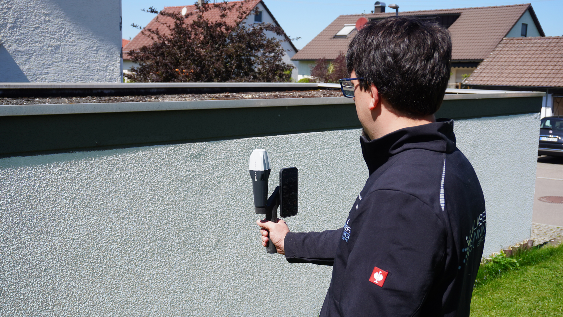
Data is captured via the built-in LiDAR sensor on compatible iPhones. The effective range is typically between 2 and 5 meters, depending on the device, surface, and environmental conditions.
Key factors include:
- Material properties and surface reflectivity
- Lighting conditions and surroundings
- Scan speed
For optimal results, we recommend a smooth, controlled motion within the ideal scanning range.
TitleSystem compatibility & requirements
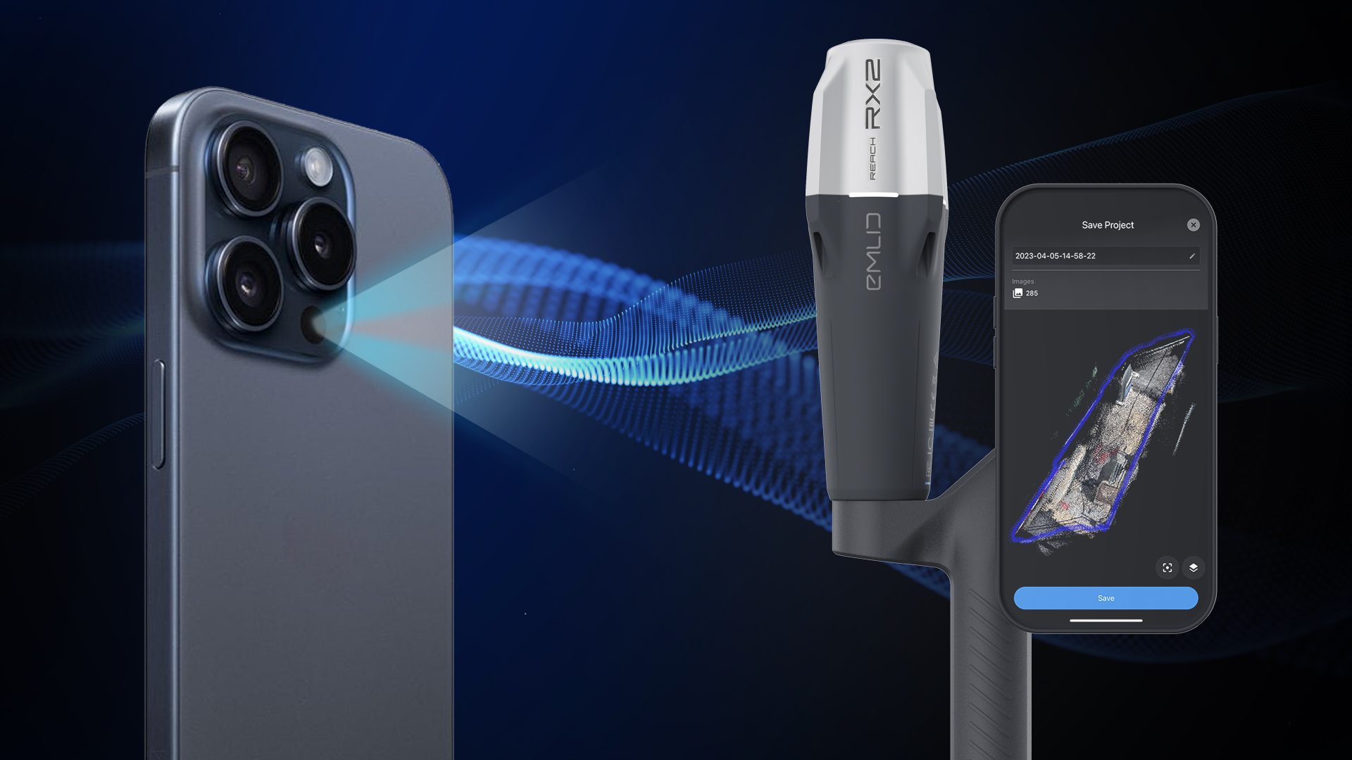
The following components are required to operate the system:
- iPhone 15 Pro (recommended) with built-in LiDAR sensor
- Latest iOS version for using Dot3D
- Compatible GNSS receiver (Emlid Reach RX2 and Reach RX)
- Stable connection between the GNSS receiver and the mobile device
The accuracy of the overall solution results from the interaction of all components as well as the respective operating conditions and is dynamically optimized by the software.
TitleConclusion
The combination of mobile LiDAR scanning and GNSS support is not intended to replace traditional high-precision surveying, but rather to serve as an efficient solution for rapid, georeferenced data collection in the field.
The focus is on:
- Speed and mobility
- Intuitive operation
- Practical results for a wide range of applications
| System verview | |
|---|---|
| Daten storage | Local (iOS device) |
| Scan technology | LiDAR + SLAM (iPhone) |
| GNSS integration | Real-time positioning (Emlid Reach RX2) |
| Software | Subscription-based |
Better advice for users
Are you interested in our offer or would you like to find out more about the Emlid & DotProduct scanning kit? Then give us a call today and arrange a free, non-binding consultation. We will answer all your questions. As both a dealer and a user, we are ideally positioned to support you after your purchase.