
GroundHawk

TitlePrecise 3D mapping of underground infrastructure
GroundHawk enables the three-dimensional mapping and documentation of underground utility lines directly during the construction phase. By combining high-precision GNSS/RTK positioning, 3D scanning and AI-supported data analysis, the locations of utility lines, their depths and other network elements are recorded whilst the trench is still open. The results are available almost in real time for further processing and quality control.
TitleAccurate cable documentation in real time
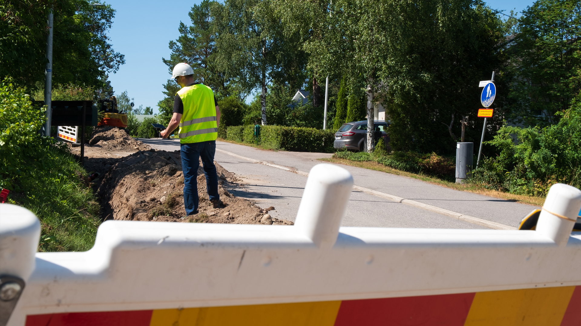
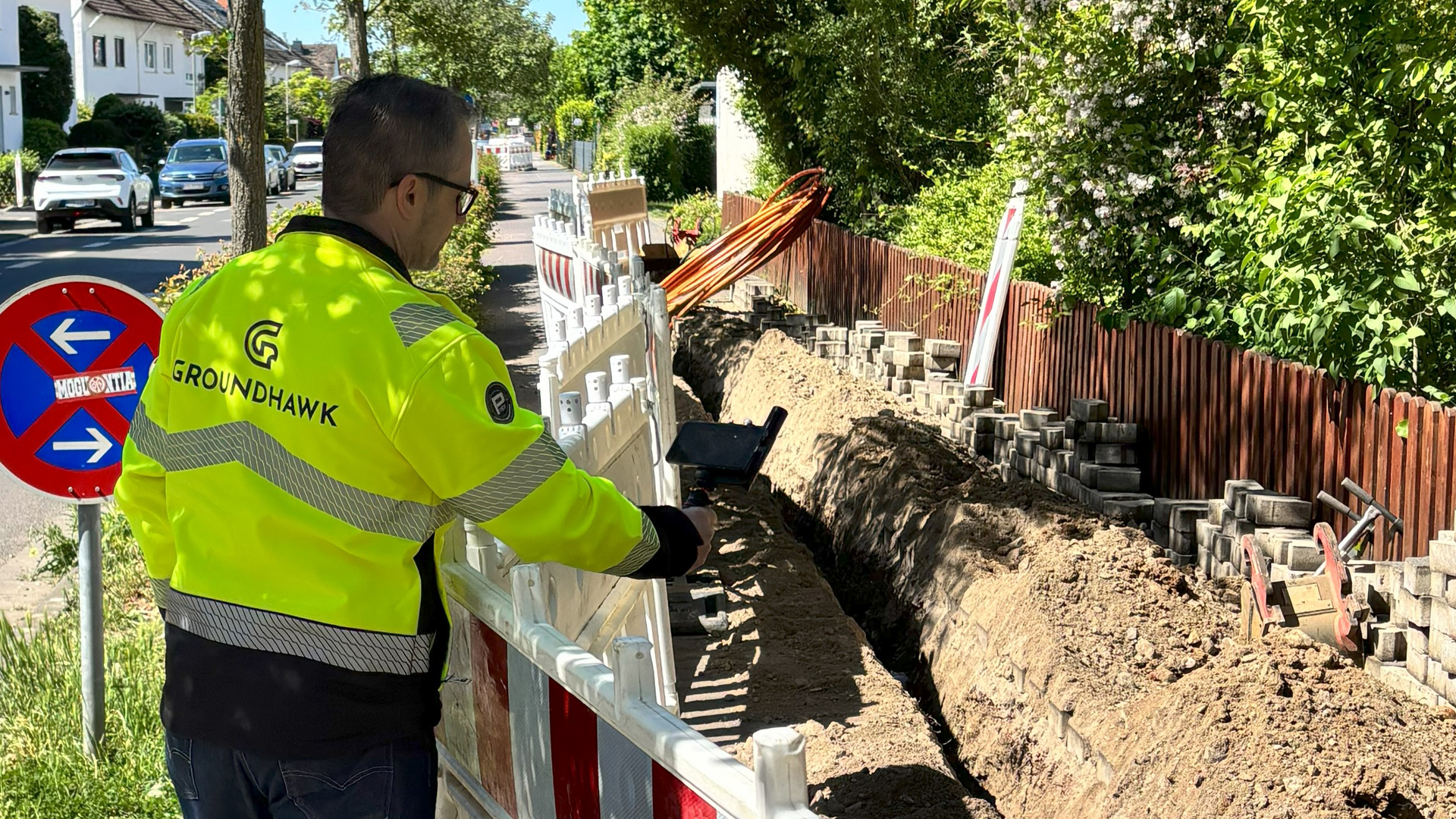
Surveying takes place immediately before the cable trench is backfilled. This allows the routes of cables, elevations and relative laying depths to be documented in detail.
The mapping accuracy is 10cm along the X, Y and Z coordinate axes. This enables reliable digital as-built documentation of the infrastructure actually installed.
You can also document closed trenches by taking photographs before and after construction.
TitleAutomated data capture & quality control
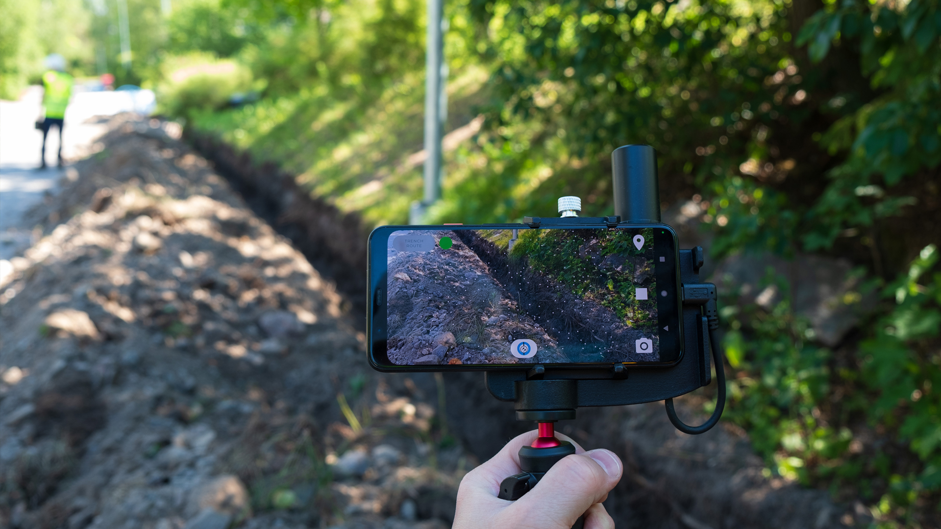
GroundHawk maps cable routes, burial depths and protective devices using 3D scanning and AI-supported analysis. Supplementary georeferenced photographs document the condition of the installation and serve as visual evidence to validate the measurements.
The combination of precise mapping data and comprehensive photographic documentation supports quality assurance and ensures the transparency of the work carried out.
TitleEfficient project management for utility companies
On-site data collection reduces the workload involved in subsequent surveying and manual documentation processes. The digital provision of data facilitates coordination between the construction site, project management and network operators. At the same time, automated progress reports simplify project monitoring and speed up the preparation of as-built documentation.
TitleInterview with GroundHawk
Would you like to say goodbye to unnecessary costs? Laserscanning Europe GmbH is a GroundHawk sales partner and would be happy to advise you.
Would you like to find out roughly how much you could save by using GroundHawk instead of traditional mapping and documentation methods? Assess the current situation on your construction sites and see the difference.
Calculate your cost savings now

TitleDigital mapping of underground utility networks
GroundHawk is designed for the surveying and documentation of underground infrastructure. The system supports the expansion of electricity and fibre-optic networks, as well as the documentation of other utility lines.
Three-dimensional data capture enables a detailed survey to be carried out directly on site and provides a digital basis for quality assurance, project acceptance and subsequent maintenance.
TitleElectricity & telecommunications networks
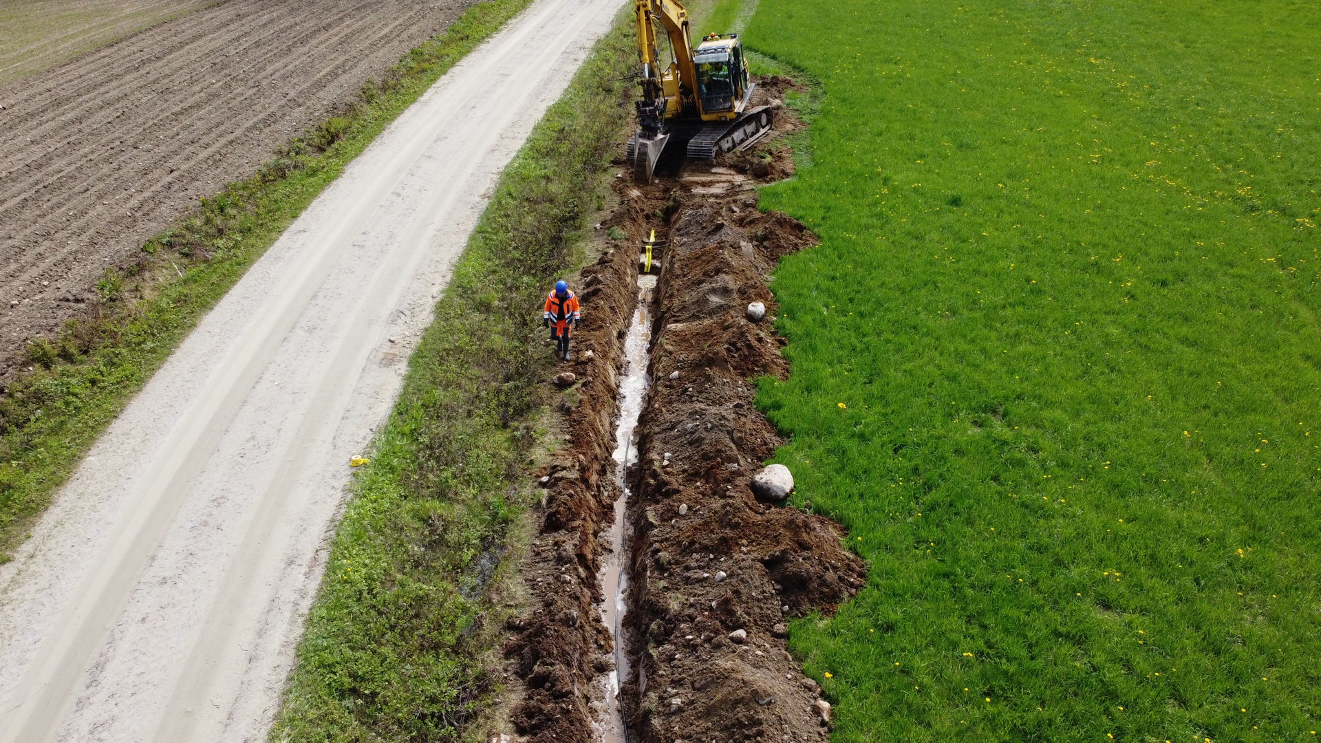
When laying power cables and fibre-optic cables, GroundHawk enables the precise mapping of cable routes and laying depths. Cables laid in parallel, as well as associated protective conduits, cable ducts and other protective measures, can also be documented. Surveying in an open trench records the actual installation status before the cables are covered with soil again.
TitleOther supply infrastructure
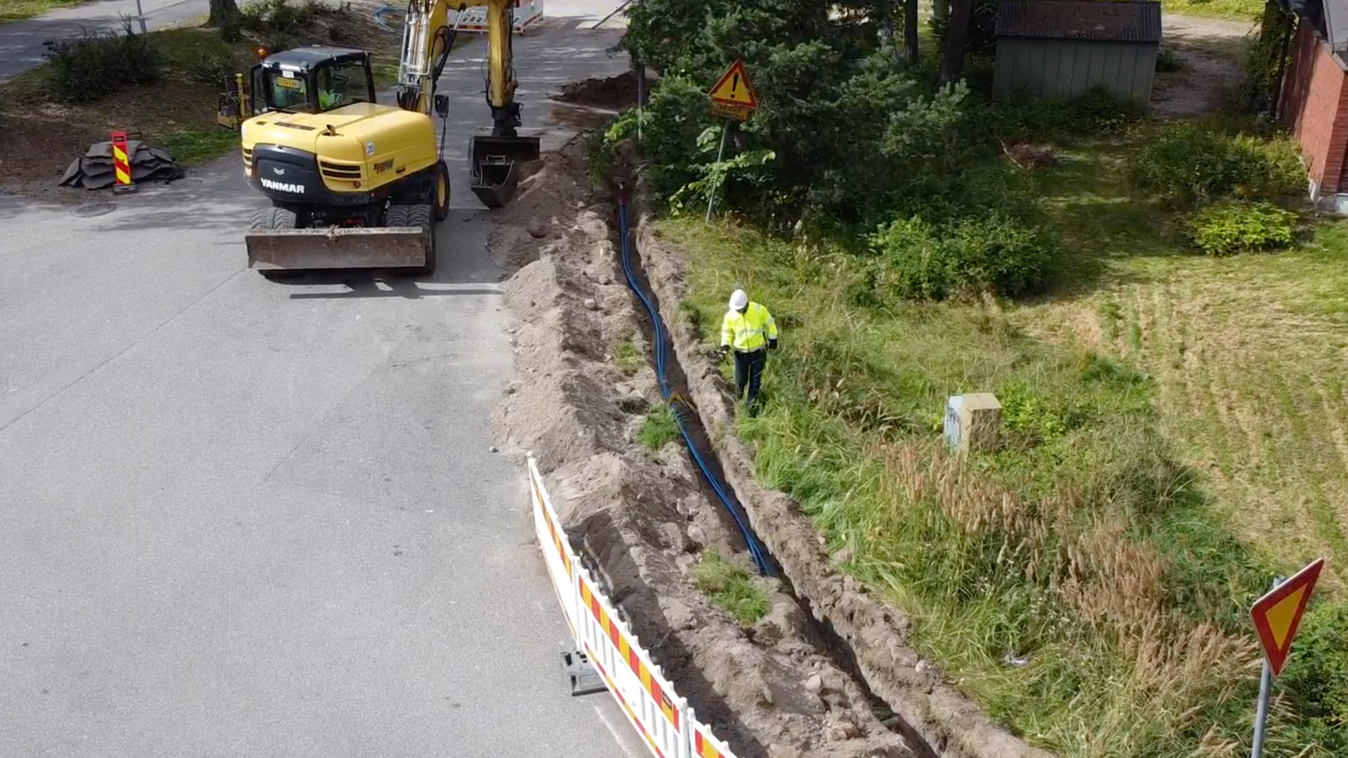
As well as electricity and telecommunications cables, GroundHawk is also suitable for mapping other underground utility networks, such as water, gas and district heating pipes. This provides digital support for the documentation of various infrastructure projects. The specific use depends on the particular application and the data capture requirements.
TitleNetwork components & asset documentation
In addition to the actual cables, relevant network elements and landmarks can be captured. These include, amongst others, switch boxes and distribution boxes, manholes, masts, transformers, connection points and underpasses. Supplementary georeferenced photographs document the condition of the infrastructure and facilitate the subsequent allocation of measurement data.
It is also possible to map routes that have already been completed, as well as to carry out selective surveys of individual locations.
TitleFrom 3D scanning to digital documentation of cable installations
GroundHawk combines satellite-based positioning, camera-based 3D scanning and AI-powered analysis into an end-to-end mapping process. The surveying data is collected directly on site, automatically analysed and made available digitally. This results in georeferenced documentation of the installed infrastructure, without the need for separate manual analysis of the 3D data.
TitlePrecise 3D documentation of cables
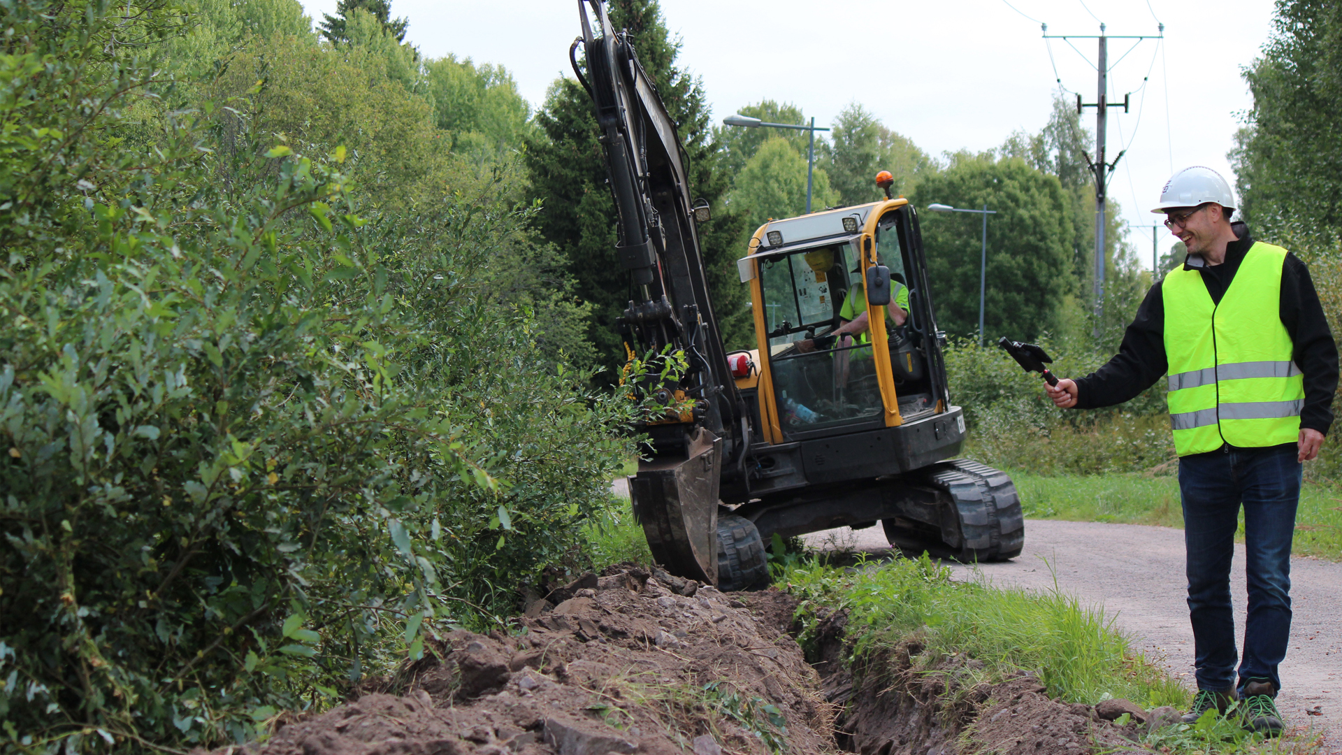
GNSS positioning, combined with RTK correction data, enables the precise geographical localisation of the objects being surveyed. As the vehicle moves along the cable trench, cameras capture the surroundings from different angles. Using this image data, GroundHawk employs stereo vision to generate a three-dimensional point cloud of the trench and the infrastructure within it.
TitleAutomatic detection of position & depth
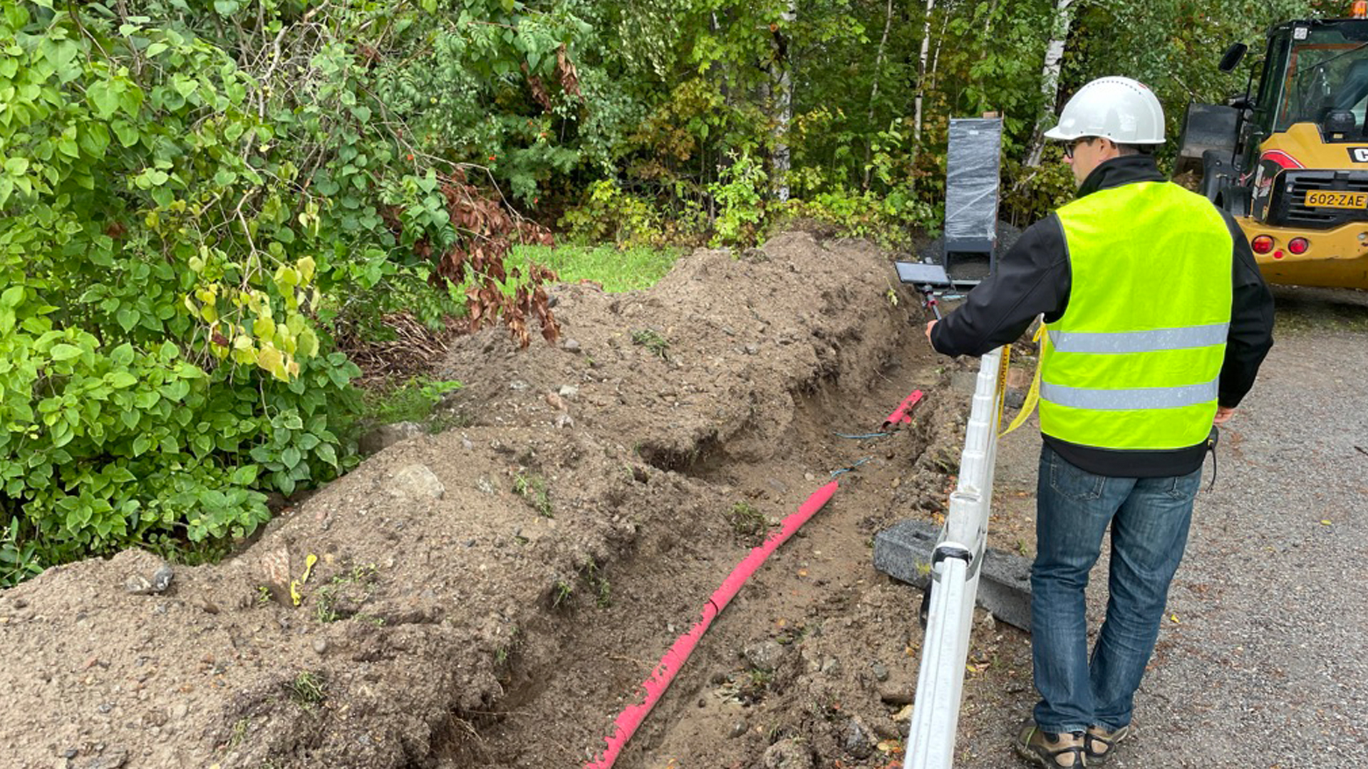
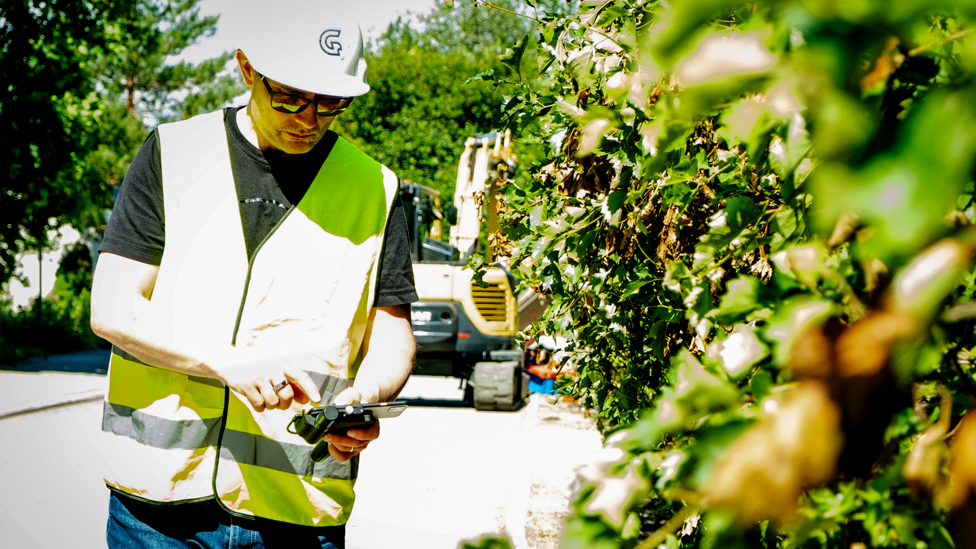
The captured 3D data is analysed using AI. From this, the positions of the pipes and safety devices, as well as their elevation and relative depth, are determined. Supplementary photographs document the visible condition of the installation.
Automated processing reduces the amount of manual work required and enables a rapid review of the captured construction work.
TitleDigital documentation & data supply
The surveying data, 3D information and georeferenced photographs are digitally merged and synchronised online. The GroundHawk portal allows users to track the captured pipe routes and project progress. The data can be exported in supported formats, taking into account the relevant coordinate systems and network operator code lists. This ensures that the results are available for further processing in existing documentation and network information systems.
| Positioning | |
|---|---|
| Satellite positioning | GPS, Galileo, Glonass, Beidou |
| Accuracy of device positioning | 2–3cm, typical accuracy |
| GNSS RTK | RTK service available in most regions |
| Accuracy of scan positioning | +-10cm XYZ |
| Start time | Typical cold start: 60 seconds, Hot start: <10 seconds. |
| GroundHawk mobile device | |
|---|---|
| Dust and water protection | IP 54 or similar |
| Updates | About managing your mobile device |
| Operating system | Android OS 14 or higher |
| Warranty | 1 year |
| Exporting data and APIs | |
|---|---|
| Coordinate systems | WGS84, EUREF89 and most coordinate systems with EPSG codes are supported. |
| Elevation systems | WGS84 ellipsoid or local geo-model, where available |
| Network codes | Configurable for each network owner |
| Export formats | DXF, GeoPackage, text-based formats, etc. Many existing and new formats are supported. |
| APIs | REST APIs with GeoJSON data structures |
Better advice for users
Are you interested in our offer or would you like to learn more about GroundHawk? Then call us today and arrange a free, no-obligation consultation. We will answer all your questions. As both a retailer and a user, we are ideally positioned to support you even after your purchase.