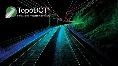
TopoDOT and Laserscanning Europe announce partnership
TopoDOT, the world's leading software for processing transportation infrastructure point cloud data, is coming to Germany! The TopoDOT process has established mobile lidar as the primary technology for survey and mapping transportation infrastructure across North America. TopoDOT LLC is now excited to expand our presence in Germany through our partnership with Laserscanning Europe GmbH.
Laserscanning Europe GmbH is the one-stop shop for 3D scanning and offers, for example, a broad portfolio ranging from the capture to the analysis and modeling of 3D data. Based in five locations in Germany, Laserscanning Europe will provide full-service sales and technical support across Germany for the implementation and execution of the TopoDOT process.
Ted Knaak, TopoDOT President said, "Ten years ago, extracting digital twins from point cloud data suffered from low levels of productivity and quality. Today the TopoDOT process has increased by orders of magnitude the productivity, quality and profitability of mobile, UAV and terrestrial laser scanning operations across North America. Together with Laserscanning Europe, we will bring the same success to the German geospatial community!"
Eric Bergholz, Laserscanning Europe CEO added, "We are very pleased to be working with TopoDOT. This partnership allows us to offer an impressive point cloud solution to our customers in the infrastructure sector, enabling them to significantly automate processes in the generation of digital twins."
