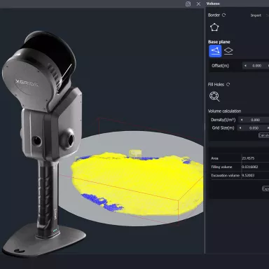
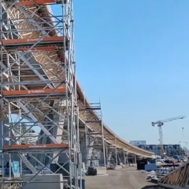
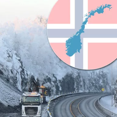
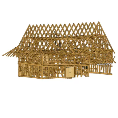
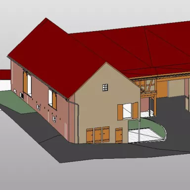
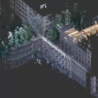
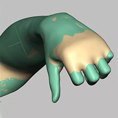
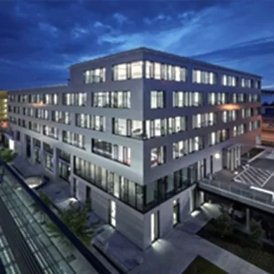
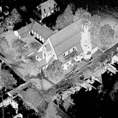
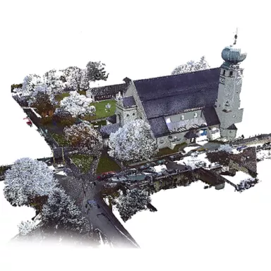
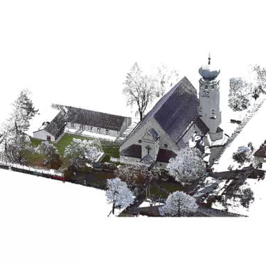
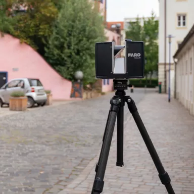
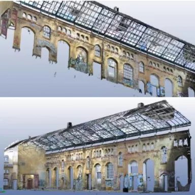
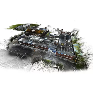
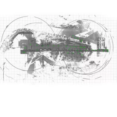
Case Studies ParagraphsPages Teaser imageImage Coordinate Transformation with Ground Control Points (GCPs) in Lixel Studio Read more Teaser imageImage Lixel Studio Volume Calculation Read more Teaser imageImage Härtetest für die PortalCam von XGRIDS! Read more Teaser imageImage Testing the FARO Blink scanner Read more Teaser imageImage Virtueller Rundgang einer Eventlocation mit Lixel Cyber Color von XGRIDS Read more Teaser imageImage Map Fusion in Lixel Cyber Color Read more Teaser imageImage 300 m Long Graduation Tower Scanned with the Lixel K1 Read more Teaser imageImage How do you scan a forest with the XGRIDS Lixel L2 Pro scanner? Read more Teaser imageImage Efficient as-built maintenance of a composting plant with Pointscene Read more Teaser imageImage Building Finland's largest bridge: Pointscene as a communication and exchange platform Read more Teaser imageImage Renewal of bridges with modern technology Read more Teaser imageImage More sustainability and circular economy in construction projects Read more Teaser imageImage Optimize work processes in the mine with Pointscene Read more Teaser imageImage Sustainability with wind energy - Construction monitoring of a wind farm with Reality Capture Read more Teaser imageImage Impressive video content with Arena4D Read more Teaser imageImage New possibilities for point cloud visualization with Veesus Arena4D Read more Teaser imageImage Re-experiencing building history: How a student is revolutionizing architecture with modern software Read more Teaser imageImage Documentation of an campsite in 3D Read more Teaser imageImage Bridge maintenance with Veesus Arena4D Read more Teaser imageImage Avalanche surveying in the French Alps Read more Teaser imageImage 3D mapping of settlements in Bengaluru, India Read more Teaser imageImage Plan efficiently in SolidWorks with point clouds and the Veesus plug-in Read more Teaser imageImage Modern technologies in road construction - Expansion of the Turku E18 ring road in Finland Read more Teaser imageImage LiDAR for monitoring a micro-hydropower plant Read more Teaser imageImage ELIOS 3 drone used for 3D mapping of a nuclear waste repository Read more Teaser imageImage Fast construction documentation with orthoimages of the E6 in Norway Read more Teaser imageImage Pointscene Software zur Bauüberwachung in der Infrastruktur Read more Teaser imageImage Erstellung eines digitalen Zwillings einer Zisterzienser-Landschaft Read more Teaser imageImage Schlachtfeld aus dem 1. Weltkrieg in 3D erleben Read more Teaser imageImage Bestandsmodellierung Kloster Schlüchtern Read more Teaser imageImage GeoSLAM Scanner unterstützt bei Stilllegung eines Kraftwerks Read more Teaser imageImage Optimierung von Regattayachten mit Hilfe von Laserscanning und Scanningspray Read more Teaser imageImage Scanning als Planungsgrundlage für den Ausbau von Fahrzeugen Read more Teaser imageImage Einsatz des ZEB Horizon bei der Sanierung von Immobilien Read more Teaser imageImage Alte Post Schwerin - Bestandserfassung als Planungsgrundlage zur Sanierung und Modernisierung Read more Teaser imageImage The CAD Room erweitert sich mit Veesus Point Clouds for Rhino Plug-in Read more Teaser imageImage Übersicht von CAD-Datenformaten Read more Teaser imageImage Scanning des Arc de Triomphe in nur 10 Minuten Read more Teaser imageImage Punktwolken exportieren – Wie Sie nur den gewünschten Bereich der Punktwolke exportieren Read more Teaser imageImage Potenzial von Punktwolken mit Veesus Point Clouds für SolidWorks ausschöpfen Read more Teaser imageImage Mietflächenberechnung - DIN 277 vs. Wohnflächenverordnung mit FARO As Built Read more Teaser imageImage Umsätze durch Punktwolkenvisualisierung steigern Read more Teaser imageImage TLS-Scanner Teledyne Polaris im maritimen Einsatz bei der Londoner Hafenverwaltung Read more Teaser imageImage Tunnelvermessung zur Schadensdokumentation mit Hilfe eines mobilen 3D-Scanners Read more Teaser imageImage Filmsets im Wandel der Zeit erleben - Mit 3D-Scans & VR-Technologie Read more Teaser imageImage Optimierung der digitalen Bauprozesse mit Veesus Software Read more Teaser imageImage Creation of digital stadium tour with 3D mesh - MDCC-Arena Magdeburg Read more Teaser imageImage Anspruchsvolle Konstruktionsprojekte mit Veesus Point Clouds für Rhino realisieren Read more Teaser imageImage Wie man seinen Camper für den Innenausbau vermisst Read more Teaser imageImage Digitale Geländemodelle – Grundlagen für eine effiziente Erstellung von DGM's Read more Teaser imageImage Survey of a cavity with the GeoSLAM ZEB Horizon Read more Teaser imageImage Highway Survey with Mobile Mapping for BIM Models of Transport Infrastructure Read more Teaser imageImage Scanning elevator shafts using a horizontal tripod Read more Teaser imageImage Scan time of the FARO Focus S series Read more Teaser imageImage Monitoring the Construction Sites of Tomorrow with ZEB Horizon Read more Teaser imageImage 3D scanning as the basis for modern art Read more Teaser imageImage 3D-Scans enthüllen Innenkonstruktion von Brasiliens berühmter Christus-Statue Read more Teaser imageImage Vermessung von Wäldern mit einem mobilen Laserscanner Read more Teaser imageImage How To: Surveying of sewer manhole with a laser scanner & a manhole tripod Read more Teaser imageImage Parametric modeling with user-specific data Read more Teaser imageImage Zuverlässige Planung für Umbaumaßnahmen dank mobiler Laserscanner Read more Teaser imageImage Mit GeoSLAM in eine Festung vordringen Read more Teaser imageImage Scanning of a villa in the canton of Tessin for a rehabilitation concept & a virtual tour Read more Teaser imageImage Scanner zur Vermessung von Schächten Read more Teaser imageImage 2D modelling vs. 3D modelling for as-built capture Read more Teaser imageImage Laserscanning zur Volumenbestimmung von Streusalzreserven Read more Teaser imageImage Laserscanning der Hohenzollerngruft im Berliner Dom Read more Teaser imageImage Laserscanning bei der Relokalisierung / Deglobalisierung der Wirtschaft Read more Teaser imageImage Mobile Scandaten zur Unterstützung der Polizei bei Amokläufen Read more Teaser imageImage Process optimization with the help of 2D hall plans Read more Teaser imageImage DTM creation of a quarry from UAV data and comparison with existing models Read more Teaser imageImage Testing of LSE checkerboard targets regarding their usability with the Leica RTC360 Read more Teaser imageImage As-built modelling of half-timbered houses in Revit Read more Teaser imageImage Mobile-Mapping-Geräte von GeoSLAM zur Kartierung im Bergbau Read more Teaser imageImage Mobile Mapping-Systeme im Einsatz auf dem Immobilienmarkt Read more Teaser imageImage Planning in harmony with the surrounding environment Read more Teaser imageImage Volume determination for inventory purposes by means of laser scanning Read more Teaser imageImage Testing of LSE reference spheres regarding their usability with the Leica RTC360 Read more Teaser imageImage FARO Laserscanner Vor-Ort-Kompensation - Kurzanleitung Read more Teaser imageImage Ohne Hürden vermessen - Scanning einer Gepäckförderanlage Read more Teaser imageImage Scanning des Bullen der Frankfurter Börse mit dem Artec Ray Scanner Read more Teaser imageImage 3 Gründe, warum robuste Tablets die Dokumentation in der Kriminaltechnik revolutionieren Read more Teaser imageImage Scanning and modeling of the theatre stage Senftenberg Read more Teaser imageImage Keine Grenzen nach oben Read more Teaser imageImage Modeling of bridge constructions Read more Teaser imageImage Ja zu digitalen Technologien Read more Teaser imageImage Asset Management der nächsten Generation mit iSTAR Pulsar Read more Teaser imageImage Conversion of an old barn into holiday apartments Read more Teaser imageImage Einsatz des GeoSLAM ZEB-REVO bei Vermessungsarbeiten im Altbergbau Read more Teaser imageImage Probleme mit Punktwolken in Revit? Wir helfen garantiert! Read more Teaser imageImage Vergleich: Verfahren zur dreidimensionalen Verknüpfung von Gebäudeinnenräumen untereinander sowie Innen- und Außenräumen Read more Teaser imageImage 3D-Scanning in der Orthopädietechnik für die generative Fertigung Read more Teaser imageImage Industry 4.0 - What is the role of laser scanners? Read more Teaser imageImage Bestandsaufnahme eines Bürogebäudes mit dem ZEB-REVO Read more Teaser imageImage Das imaginäre Museum - Virtuelle Realität im Museum Read more Teaser imageImage Combination of FARO scanner data and ZEB-REVO scanner data for as-built documentation Read more Teaser imageImage Analysis of laser scanner data in different accuracy classes Read more Teaser imageImage Reverse Engineering for creating a protective cover for an airbag vest Read more Teaser imageImage Transfer FARO Scene point clouds into an Autodesk RECAP project Read more Teaser imageImage Use of laser scanner reference spheres - Optimal distance to the scanner Read more Teaser imageImage FARO Focus S 150 or S 350 - What are improvements over the predecessor models FARO Focus X 130 and X 330? Read more Teaser imageImage Laser scanner and panoramic camera iSTAR - Which adapter do I use for which scanner? Read more Teaser imageImage Targetless registration and registration with target marks - When do i use what? Read more Teaser imageImage Creation and evaluation of a 3D terrain model from drone data by means of PointCab Read more Teaser imageImage Testing of laser scanning checkerboard targets - A comparison of targets Read more Teaser imageImage Panoramatour mit der iSTAR und PanotourPro am Beispiel der Ortschaft Müden/Örtze Read more Teaser imageImage Testing of laser scanning reference spheres - A comparison Read more Teaser imageImage Tutorial: Scanning with DPI-8 and data import in FARO Scene Read more Teaser imageImage Merge data from handheld scanner and terrestrial laser scanner Read more Teaser imageImage Tutorial: How to connect FARO Focus 3D to your mobile device Read more Teaser imageImage Tutorial: Update FARO Focus3D firmware Read more Teaser imageImage Automatische Stationierung der Scans über Cloud2Cloud mit vorheriger draufsichtbasierter Registrierung Read more Teaser imageImage Automatische Stationierung (Registrierung) der Scans mit Zielmarken in FARO Scene Read more Teaser imageImage Manuelle Stationierung (Registrierung) der Scans mit Zielmarken in FARO Scene Read more Teaser imageImage Voreinstellungen für ein zuverlässiges Arbeiten mit FARO Scene Read more Teaser imageImage Tutorial - Registrierung von Scans in FARO Scene Read more Teaser imageImage Correctly positioning a laser scanner Read more Teaser imageImage Correct resolution for laser scanning Read more Teaser imageImage Create a fly-through video using Arena4D software Read more Teaser imageImage Analysis of flatness deviations with laser scanners Read more Teaser imageImage Laser scanner used for IBM project "Urban Art Cloud" in Munich Read more Teaser imageImage Laser scanning trainings for beginners Read more Teaser imageImage Collision analysis with 3D laser scanner Read more Teaser imageImage Laser scanning St. Elmo in Malta – Remains of an historic access Read more Teaser imageImage Surveying of Dunelm House at Durham University Read more Teaser imageImage 3D laser scanning and PC-Crash for the documentation of accidents Read more Teaser imageImage Façade measurement by means of laser scanning Read more Teaser imageImage 3D projection due to laser scanning Read more Teaser imageImage Boeing's Flaggschiff B747- 8 für 3D-Animation gescannt Read more Teaser imageImage Survey of main post office Doha (Qatar) by use of PointCab Read more Teaser imageImage Laser scanning for conversion of production facilities Read more Teaser imageImage Reconstruction of an old farmhouse Read more Teaser imageImage PointCab for Dimensional Sketches in Accident Documentation Read more Teaser imageImage Survey of a gas turbine for energy optimisation and replacement of components Read more Teaser imageImage Adobe 3D PDF für CAD-Daten und Laserscanning Read more Teaser imageImage Maschinenaufmaß für den Neuaufbau einer Anlage Read more Teaser imageImage Cost-effective survey of towers and complex buildings Read more Teaser imageImage 3D Survey of an Historical Industrial Building Read more Teaser imageImage Redevelopment of a Mustard Factory Read more Teaser imageImage Survey of a High School by Digital Surveys with PointCab as Analysis Tool Read more Teaser imageImage Laser Scanning in Plant Construction: Scanning of a Limestone Plant Read more Teaser imageImage Using Laser Scanning for Planning Pipe Routes Read more Teaser imageImage 3D laser scanning and Tutankhamun Read more Teaser imageImage Laser scanning in food industry Read more Teaser imageImage Laser scanning allows accurate replacement of column Read more Teaser imageImage 3D laser scanning for lighting design in Berlin, Germany Read more Teaser imageImage ThyssenKrupp Drauz Nothelfer uses laser scanning for plant layout study Read more Teaser imageImage 3D Laserscanning bei der Erfassung und Dokumentation von Produktionshallen und -anlagen Read more Teaser imageImage BIM (Building Information Modeling) und Laserscanning Read more Teaser imageImage Laserscanning, CAD Modell, 3D Druck Modell Read more Teaser imageImage Prozessoptimierung Mittelstand Read more
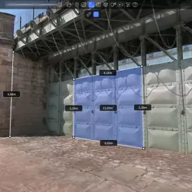
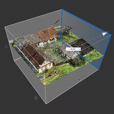
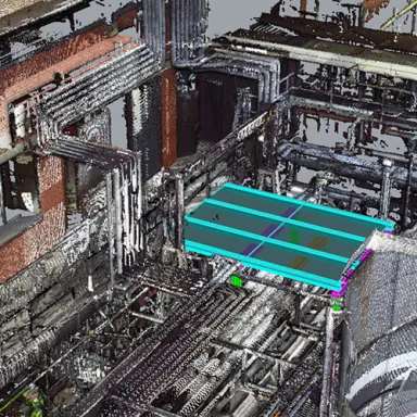
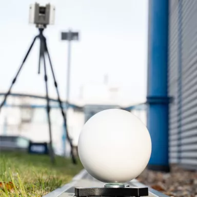
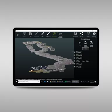
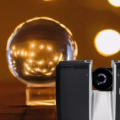
Teaser imageImage Coordinate Transformation with Ground Control Points (GCPs) in Lixel Studio Read more
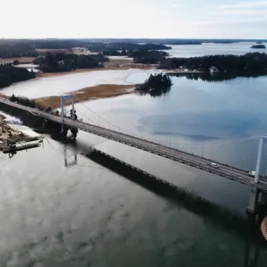
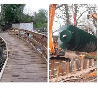
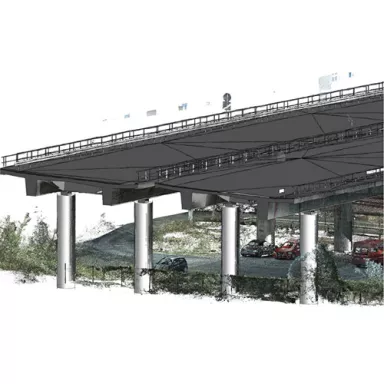
Teaser imageImage Building Finland's largest bridge: Pointscene as a communication and exchange platform Read more
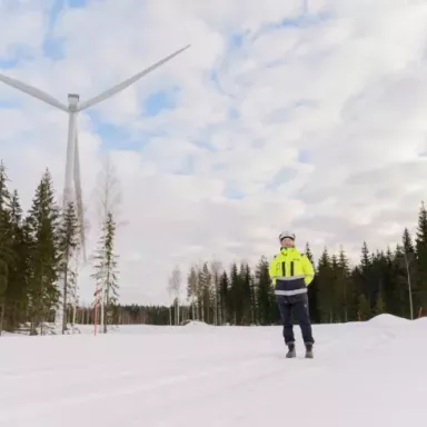
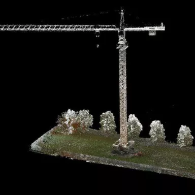
Teaser imageImage Sustainability with wind energy - Construction monitoring of a wind farm with Reality Capture Read more
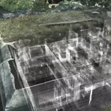
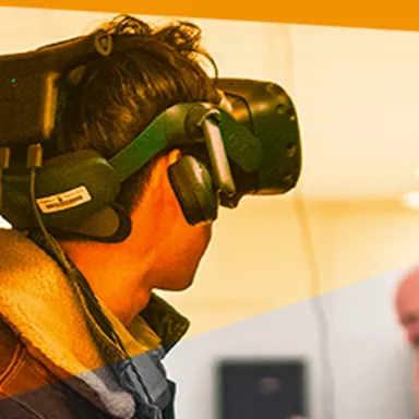
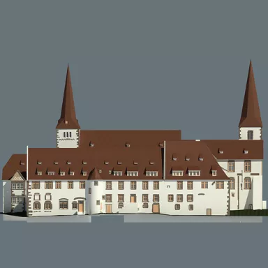
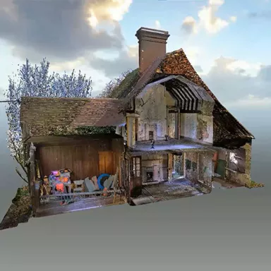
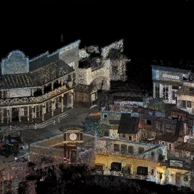
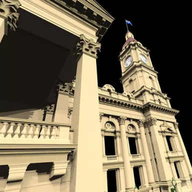
Teaser imageImage Re-experiencing building history: How a student is revolutionizing architecture with modern software Read more
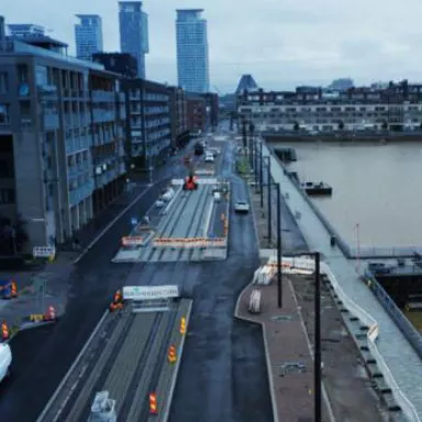
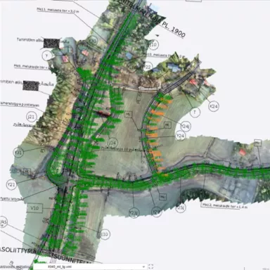
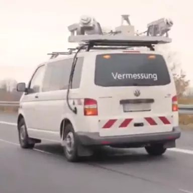
Teaser imageImage Modern technologies in road construction - Expansion of the Turku E18 ring road in Finland Read more
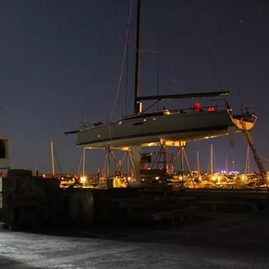
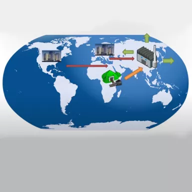
Teaser imageImage Optimierung von Regattayachten mit Hilfe von Laserscanning und Scanningspray Read more
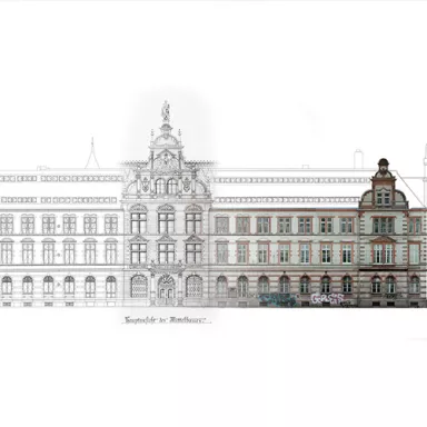
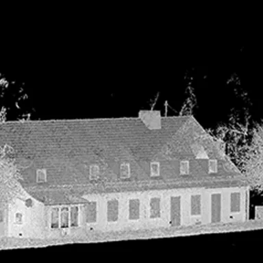
Teaser imageImage Alte Post Schwerin - Bestandserfassung als Planungsgrundlage zur Sanierung und Modernisierung Read more
Teaser imageImage Punktwolken exportieren – Wie Sie nur den gewünschten Bereich der Punktwolke exportieren Read more
Teaser imageImage Potenzial von Punktwolken mit Veesus Point Clouds für SolidWorks ausschöpfen Read more
Teaser imageImage Mietflächenberechnung - DIN 277 vs. Wohnflächenverordnung mit FARO As Built Read more
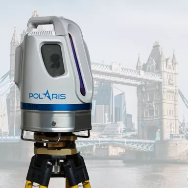
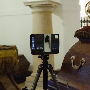
Teaser imageImage TLS-Scanner Teledyne Polaris im maritimen Einsatz bei der Londoner Hafenverwaltung Read more
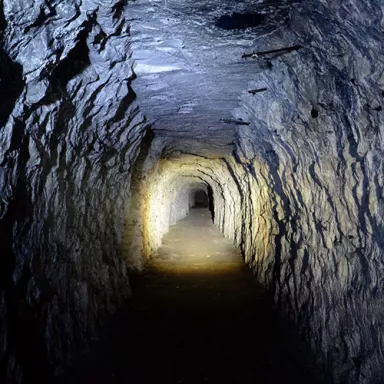
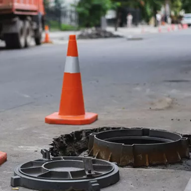
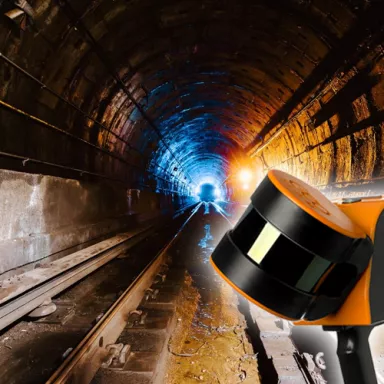
Teaser imageImage Tunnelvermessung zur Schadensdokumentation mit Hilfe eines mobilen 3D-Scanners Read more
Teaser imageImage Anspruchsvolle Konstruktionsprojekte mit Veesus Point Clouds für Rhino realisieren Read more
Teaser imageImage Digitale Geländemodelle – Grundlagen für eine effiziente Erstellung von DGM's Read more
Teaser imageImage Highway Survey with Mobile Mapping for BIM Models of Transport Infrastructure Read more
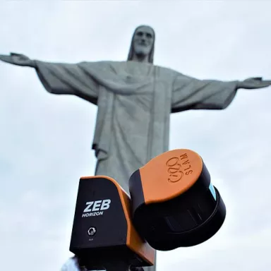
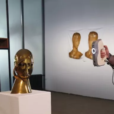
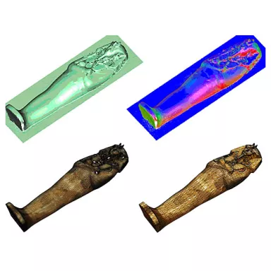
Teaser imageImage 3D-Scans enthüllen Innenkonstruktion von Brasiliens berühmter Christus-Statue Read more
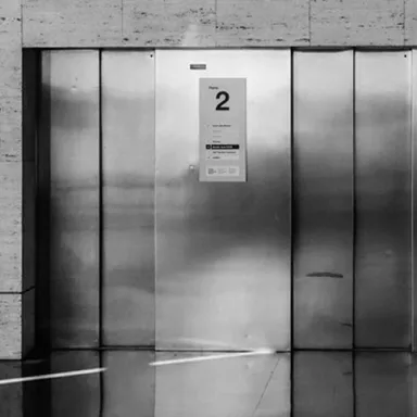
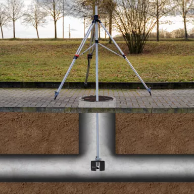
Teaser imageImage How To: Surveying of sewer manhole with a laser scanner & a manhole tripod Read more
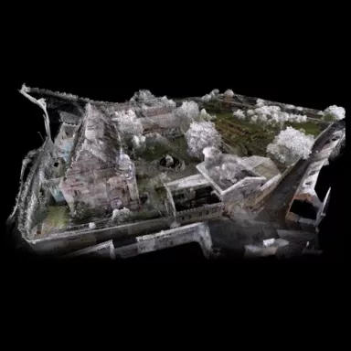
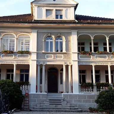
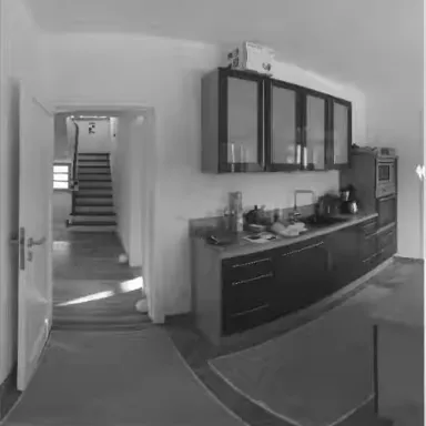
Teaser imageImage Scanning of a villa in the canton of Tessin for a rehabilitation concept & a virtual tour Read more
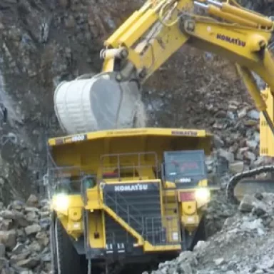
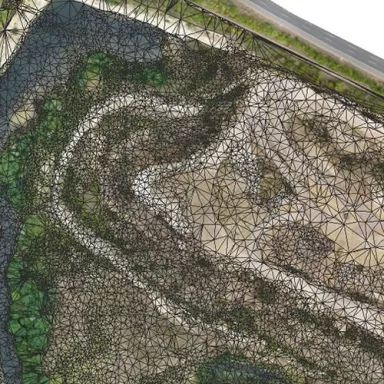
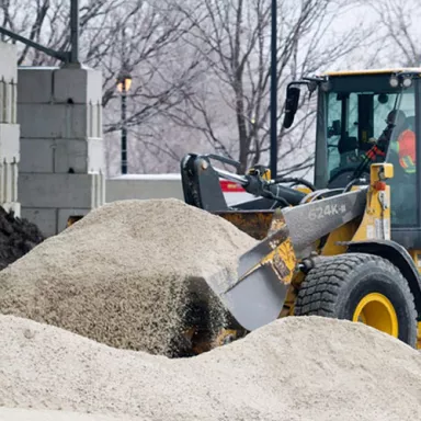
Teaser imageImage DTM creation of a quarry from UAV data and comparison with existing models Read more
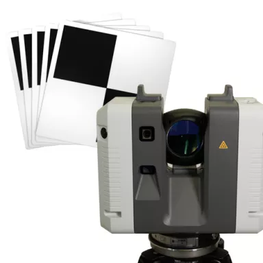
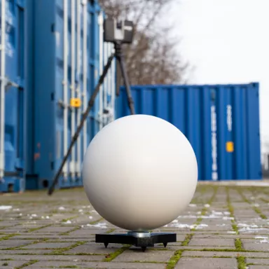
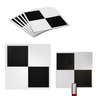
Teaser imageImage Testing of LSE checkerboard targets regarding their usability with the Leica RTC360 Read more
Teaser imageImage Testing of LSE reference spheres regarding their usability with the Leica RTC360 Read more
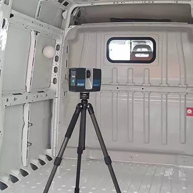
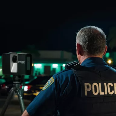
Teaser imageImage 3 Gründe, warum robuste Tablets die Dokumentation in der Kriminaltechnik revolutionieren Read more
Teaser imageImage Vergleich: Verfahren zur dreidimensionalen Verknüpfung von Gebäudeinnenräumen untereinander sowie Innen- und Außenräumen Read more
Teaser imageImage Combination of FARO scanner data and ZEB-REVO scanner data for as-built documentation Read more
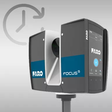
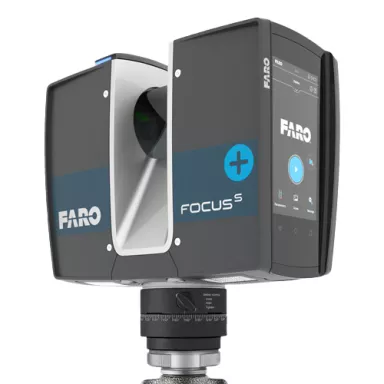
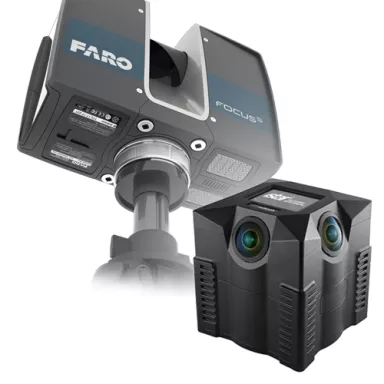
Teaser imageImage FARO Focus S 150 or S 350 - What are improvements over the predecessor models FARO Focus X 130 and X 330? Read more
Teaser imageImage Laser scanner and panoramic camera iSTAR - Which adapter do I use for which scanner? Read more
Teaser imageImage Targetless registration and registration with target marks - When do i use what? Read more
Teaser imageImage Creation and evaluation of a 3D terrain model from drone data by means of PointCab Read more
Teaser imageImage Panoramatour mit der iSTAR und PanotourPro am Beispiel der Ortschaft Müden/Örtze Read more
Teaser imageImage Automatische Stationierung der Scans über Cloud2Cloud mit vorheriger draufsichtbasierter Registrierung Read more
Teaser imageImage Automatische Stationierung (Registrierung) der Scans mit Zielmarken in FARO Scene Read more
Teaser imageImage Manuelle Stationierung (Registrierung) der Scans mit Zielmarken in FARO Scene Read more
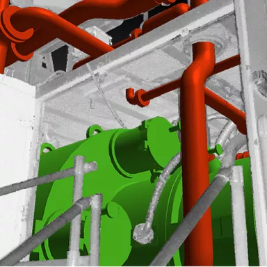
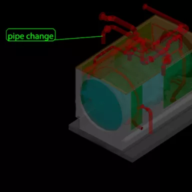
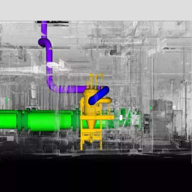
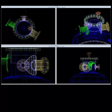
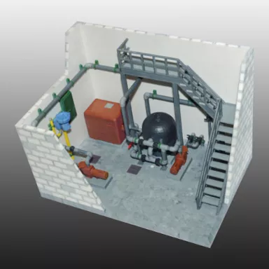
Teaser imageImage Survey of a gas turbine for energy optimisation and replacement of components Read more
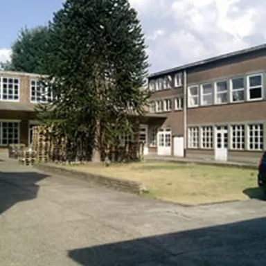
Teaser imageImage Survey of a High School by Digital Surveys with PointCab as Analysis Tool Read more
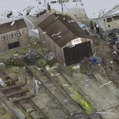
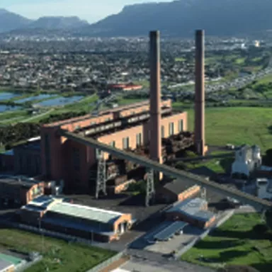
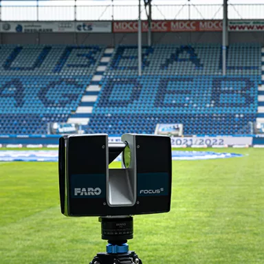
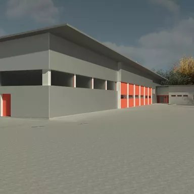
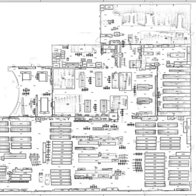
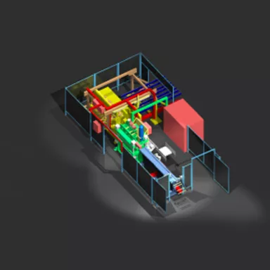
Teaser imageImage 3D Laserscanning bei der Erfassung und Dokumentation von Produktionshallen und -anlagen Read more