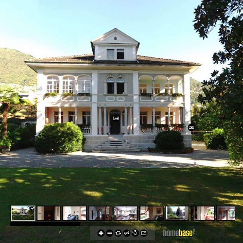
Some time ago, we had a special scanning training in wonderful late summer weather in beautiful Tessin (Switzerland). Mr. Tobias Jörn from homebase2 GmbH in Zurich/Hanover had entrusted us with a three-day training. The aim was to capture a stately villa from the early 20th century and the surrounding magnificent garden in three dimensions.
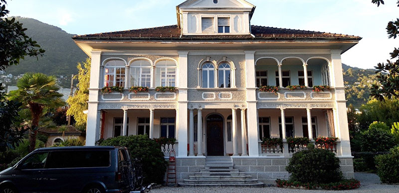 Object to be scanned
The customer
The company homebase2 has more than ten years of experience in the field of visualization. One of the core competences of the architects is classical architectural visualisation. They are also experienced in other areas such as graphic design, virtual reality (VR), augmented reality (AR), film and animation, building information modeling (BIM), programming of apps and other applications.
Project schedule
Preparatory measures
The special thing about this training was that the training location was in Switzerland. Thus, we had to request customs documents (Carnet ATA) for the scanner. Applying for the Carnet ATA was not a new challenge for us, as we have carried out many projects and training courses outside Germany in our ten-year company history.
After the organisational preparations were completed within a very short time, the trip took us to the beautiful Italian-speaking part of Switzerland at the end of September.
Aim of the capture
The ravages of time leave their traces at all things and so it was with this villa. So the as-built capture was the objective of the training. The documentation provided the basis for a renovation concept.
Course of the scan project
Usually our training courses at the customer's site last two days. Due to the size of the project and the distant location, this training was scheduled for three days.
At the beginning of the first day, the three training participants were instructed in the operation of the FARO FocusS 70 terrestrial laser scanner and in the scanning process. After the briefing, we started in the attic to scan the building. Our equipment included 12 reference spheres as well as marking stickers and field book frames.
The reference spheres were used to merge the individual scanner locations with each other so that a complete point cloud could be generated. With the help of the marking stickers, we were able to position the spheres at defined locations several times in exactly the same way in order to achieve the best possible correlation between the indoor and outdoor areas. In such projects, window sills or the area around front doors are particularly suitable for the placement of reference targets.
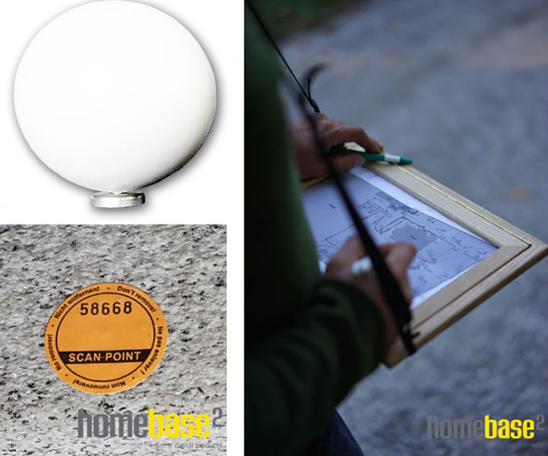 Scanning accessories in use - Reference spheres | Marking stickers | Field book frames for sketches
During the entire scanning process, we made sketches in which the scanner locations were documented. In this way, any errors that might have occurred could have been quickly analysed during the subsequent analysis of the data. After we had jointly completed the first locations and also difficult areas, such as the connection of the floors via the staircase, Mr. Jörn and his colleagues were able to determine suitable scanner positions on their own quite quickly.
At the end of the first day, we started to analyze the data from inside the building. This primarily included the data backup and the beginning registration of the scan data in the FARO Scene software.
Day 2
On the second day, the team was already able to split up. A team covered the basement and most of the outside area. At the same time, the other team applied the registration skills they had learned the night before. In doing so, minor difficulties in sphere recognition were easily overcome by valuable tips from our trainer.
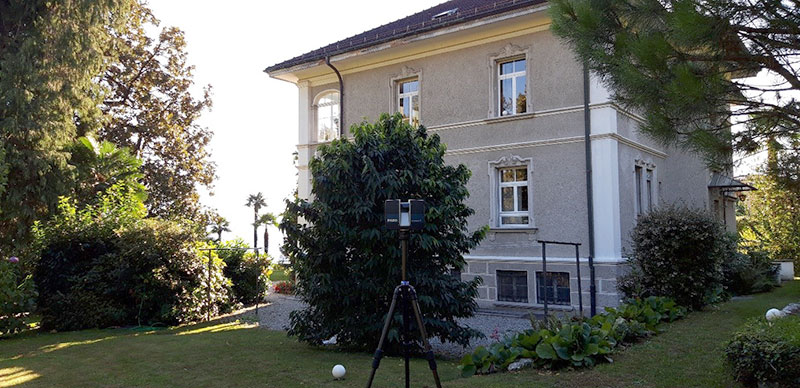 Scanning the garden
Day 3
In the morning of the third day, the scanning of the exterior area was completed. On this day, the focus was on the final registration of all data in FARO Scene. After the registration was successful, the point cloud was cleaned and colored.
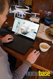 Analysis of the scan data in FARO Scene
In summary, the training participants learned the capture strategy of terrestrial laser scanning (TLS) in a very short time. Among other things, this included
- Independent operation of the laser scanner
- Resolution and quality definition of the point cloud
- Determination of the laser scanner location
- Experiencing TLS error sources
In addition, the training participants now have comprehensive knowledge in the registration and post-processing of scan data with the FARO Scene software.
Result
The architects used the point cloud generated during the three-day training course to create a rehabilitation concept and to create a virtual tour based on the scan data. This tour can be found on the homebase2 website.
> Virtual tour @ https://homebase2.com/virtual-reality
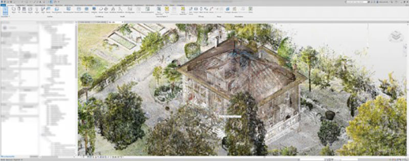 Scan point cloud in Autodesk Revit

